Trail Walking Raismes - Circuit du Terril de Sabatier - Photo

Circuit du Terril de Sabatier

 corsinou
corsinou

User

© OpenStreetMap contributors
Length
Length
13 km
Max alt
Max alt
76 m
Uphill gradient
Uphill gradient
148 m
Km-Effort
Km-Effort  
14.9 km
Min alt
Min alt
18 m
Downhill gradient
Downhill gradient
149 m
Boucle
Boucle
Yes
Creation date :
2015-10-07 00:00:00.0
Updated on :
2015-10-07 00:00:00.0

(1 Reviews)

Walking
Walking
2h34
Difficulty : Easy

Scan this QR Code to open this trail in the SityTrail application

FREE GPS app for hiking

Logo SityTrail SityTrail

IGN / Geographical institutes

Download SityTrail from the App Store Download SityTrail from Google Play

Logo SityTrail SityTrail World

The world is yours!

Download SityTrail from the App Store Download SityTrail from Google Play Download SityTrail on Huawei AppGallery

About

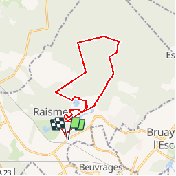
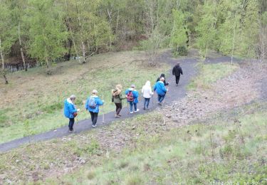
Trail Walking of 13 km to be discovered at Hauts-de-France, Nord, Raismes. This trail is proposed by corsinou.

Description

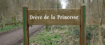
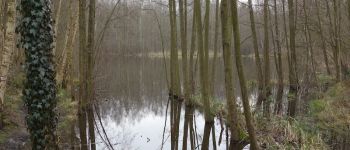
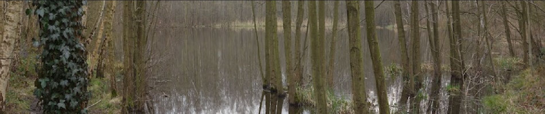
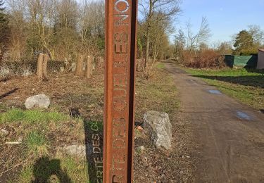
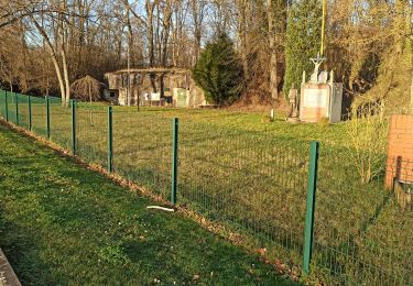
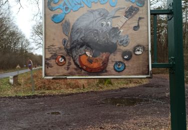
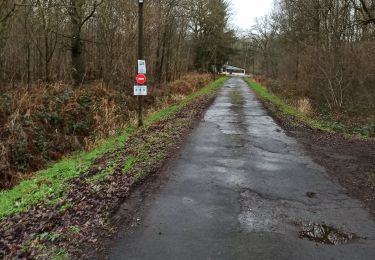
Circuit très sympa en Forêt Domaniale de Raismes.
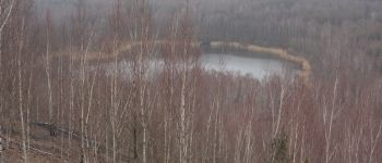
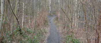
En étant observateur et discret vous pourrez admirer la faune de cet endroit très calme à cette période de l'année
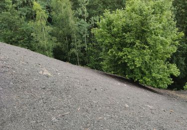
Prévoir de bonne chaussure de marche pour les zones humides et si possible des batons de randonnées pour la descente du terril de Sabatier

Elevation profile

Photos

Points of interest

Point of interest Raismes -  - Photo
corsinou
RAISMES 
Point of interest Raismes -  - Photo
corsinou
RAISMES 
Point of interest Raismes -  - Photo
corsinou
RAISMES 
Point of interest Raismes -  - Photo
corsinou
RAISMES 

Positioning

Country:
France
Region :
Hauts-de-France
Department/Province :
Nord
Municipality :
Raismes
Location:
Unknown
Start:(UTM)
534912 ; 5582911 (31U) N.

Comments

Please log in to post a review or rate the element


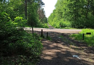
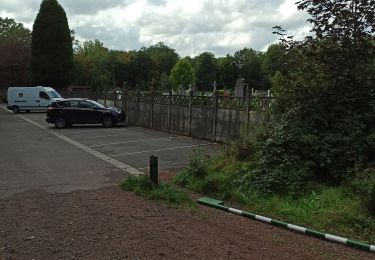
Super circuit juste le point de départ et désormais fermé donc prendre le départ comme l'arrivée pour rejoindre le chemin du minier .


Trails nearby

Trail Walking Raismes - Terril du lavoir Rousseau - Photo
Walking
midu59

Walking

Medium
Raismes, Hauts-de-France, Nord, France
5.7 km | 7.2 km-effort
2h 7min
Yes
Trail Walking Saint-Amand-les-Eaux - terril vicoigne - Photo
Walking
papiou

Walking

Easy
Saint-Amand-les-Eaux, Hauts-de-France, Nord, France
8.7 km | 9.7 km-effort
2h 0min
Yes
Trail Walking Raismes - terril du lavoir rousseau - Photo
Walking
papiou

Walking

Medium
Raismes, Hauts-de-France, Nord, France
7.5 km | 9.3 km-effort
2h 0min
Yes
Trail Walking Saint-Amand-les-Eaux - notre dame d'amour(NDA), propose par VDN - Photo
Walking
papiou

Walking

Medium
Saint-Amand-les-Eaux, Hauts-de-France, Nord, France
9.7 km | 10.6 km-effort
2h 16min
Yes
Trail Walking Raismes - variante de la course des terrils - Photo
Walking
papiou

Walking

Medium
(1)
Raismes, Hauts-de-France, Nord, France
8.8 km | 10 km-effort
2h 10min
Yes
Trail Walking Wallers - Mare goraux - Photo
Walking
xcreator

Walking

Medium
Wallers, Hauts-de-France, Nord, France
6.8 km | 7.5 km-effort
1h 32min
Yes
Trail Walking Saint-Amand-les-Eaux - Mesnil, version plus longue - Photo
Walking
papiou

Walking

Easy
Saint-Amand-les-Eaux, Hauts-de-France, Nord, France
9.9 km | 11.1 km-effort
2h 2min
Yes
Trail Walking Saint-Amand-les-Eaux - Mesnil. st Amand - Photo
Walking
papiou

Walking

Easy
Saint-Amand-les-Eaux, Hauts-de-France, Nord, France
8.5 km | 9.6 km-effort
1h 28min
Yes
Trail Walking Wallers - forêt de Raismes et mare à Gorriaux - Photo
Walking
Templeuveenmarche

Walking

Medium
(2)
Wallers, Hauts-de-France, Nord, France
10.6 km | 11.7 km-effort
2h 35min
Yes


Close
My subscriptions