


12 km | 20 km-effort


User


FREE GPS app for hiking
 SityTrail
IGN / Geographical institutes
SityTrail World
The world is yours!
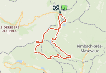
Trail Walking of 18.1 km to be discovered at Grand Est, Vosges, Saint-Maurice-sur-Moselle. This trail is proposed by grattounette.
Départ du parking de rouge Gazon en monté par les pistes de ski suivre le GR5, haut de bers, la roche de l'enfer et son magnifique panorama redescendre vers le refuge Issenbach remonté sur le gresson haut passer part la prairie Pour rejoindre ce magnifique refuge de lagerwald hutte pour le pique nique, descente vers Ermensbach prendre a gauche après avec Franchi le ruisseau Neuweiherbach remonté vers le petit et grand Neuweiher par le sentier en pierre après une pose au niveau du refuge tenue par le club vosgien, belle montée technique vers le plateau du haut bers retour par le GR5 et sont sentier qui surplombe le Lac des perches et rejoindre le Col des perches et retour au parking du rouge Gazon.
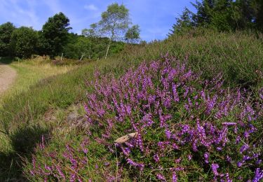
Walking

Walking
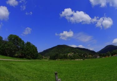
Walking

Walking

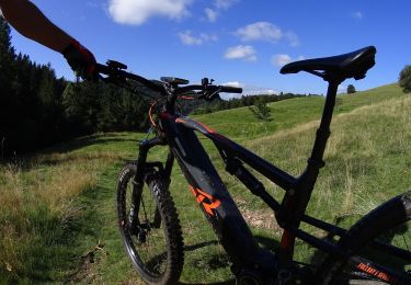
Mountain bike
Walking
Mountain bike
Mountain bike
Mountain bike