


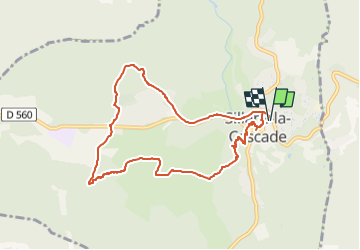


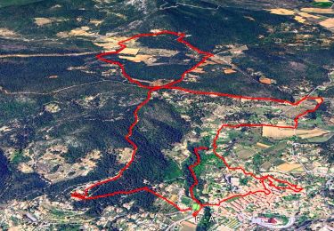
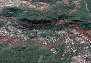
12.1 km | 16.5 km-effort


... Le plaisir d'être bien ensemble


FREE GPS app for hiking
 SityTrail
IGN / Geographical institutes
SityTrail World
The world is yours!
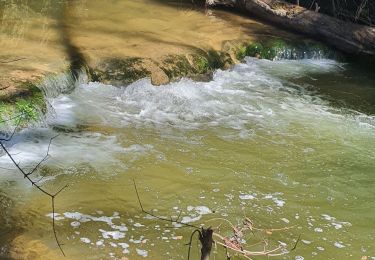
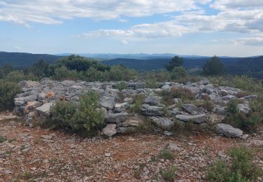
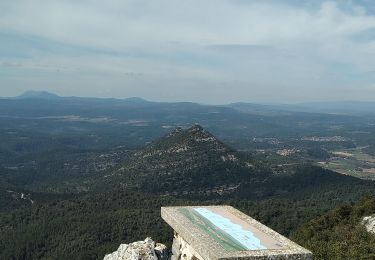
Trail Walking of 9 km to be discovered at Provence-Alpes-Côte d'Azur, Var, Sillans-la-Cascade. This trail is proposed by Rando-FCL-Puget-JOURNEE.
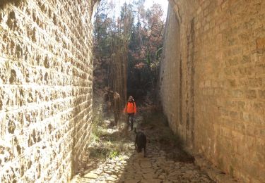
Possibilité de se rendre à la cascade l' après midi.
Walking
Walking
Walking
Walking
Walking
Walking
Walking
Walking
Walking