Trail Walking Unknown - aissey  - Photo
© OpenStreetMap contributors
Length
Length
18.2 km
Max alt
Max alt
594 m
Uphill gradient
Uphill gradient
382 m
Km-Effort
Km-Effort  
23 km
Min alt
Min alt
372 m
Downhill gradient
Downhill gradient
381 m
Boucle
Boucle
Yes
Creation date :
2022-11-30 08:50:56.872
Updated on :
2023-07-31 18:40:42.788

(0 Reviews)

Walking
Walking
5h17
Difficulty : Very difficult

Scan this QR Code to open this trail in the SityTrail application

FREE GPS app for hiking

Logo SityTrail SityTrail

IGN / Geographical institutes

Download SityTrail from the App Store Download SityTrail from Google Play

Logo SityTrail SityTrail World

The world is yours!

Download SityTrail from the App Store Download SityTrail from Google Play Download SityTrail on Huawei AppGallery

About

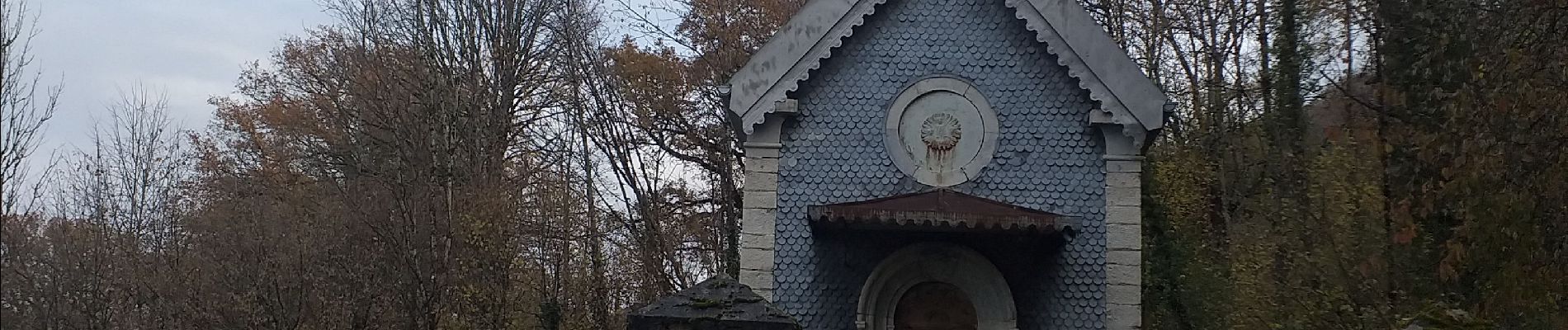
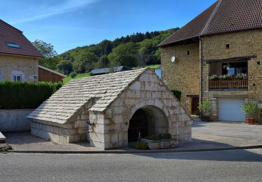
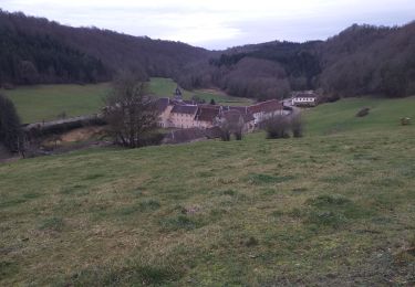
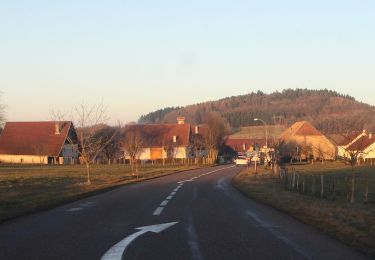
Trail Walking of 18.2 km to be discovered at Bourgogne-Franche-Comté, Doubs. This trail is proposed by eltonnermou.

Description

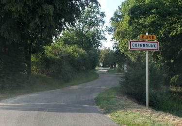
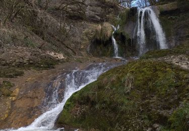
Cette belle randonnée  pédestre vous entrainera à travers différents paysages . Vous longerez les "gorges" de l'audeux ; au lieu dit le bois Rodolphe vous pouvez faire l'A/R aux cuvettes de ce ruisseau.
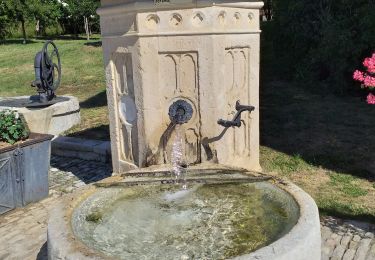
Cette randonnée vous offrira quelques points de vues.
Avec un peu de chance, vous surprendrez des chevreuils ou chamois. Vous pourrez apprécier la diversité de la flore et profiter d'un parcours ombragé et très agréable.    

Elevation profile

Photos

Positioning

Country:
France
Region :
Bourgogne-Franche-Comté
Department/Province :
Doubs
Municipality :
Unknown
Location:
Unknown
Start:(UTM)
298112 ; 5238385 (32T) N.

Trails nearby

Trail Walking Dammartin-les-Templiers - dammartin les templiers - Photo
Walking
eltonnermou

Walking

Easy
(2)
Dammartin-les-Templiers, Bourgogne-Franche-Comté, Doubs, France
14.4 km | 18.7 km-effort
2h 34min
Yes
Trail Walking Chaux-lès-Passavant - sur les terres de Louis Pergaud. - Chaux passavant - Photo
Walking
eltonnermou

Walking

Medium
(1)
Chaux-lès-Passavant, Bourgogne-Franche-Comté, Doubs, France
14.7 km | 17.7 km-effort
2h 23min
Yes
Trail On foot  - L'Abbaye de Grâce-Dieu - Photo
On foot
PRO

On foot

Easy
, Bourgogne-Franche-Comté, Doubs, France
12.5 km | 17.4 km-effort
3h 57min
Yes
Trail On foot Bretigney-Notre-Dame - Les Gorges de l'Audeux - Photo
On foot
PRO

On foot

Easy
Bretigney-Notre-Dame, Bourgogne-Franche-Comté, Doubs, France
4 km | 5 km-effort
1h 8min
No
Trail Walking Chaux-lès-Passavant - grâce diable  - Photo
Walking
eltonnermou

Walking

Very easy
Chaux-lès-Passavant, Bourgogne-Franche-Comté, Doubs, France
7.7 km | 9.9 km-effort
1h 16min
Yes
Trail Walking Chaux-lès-Passavant - grâce diable retour par coteau opposé - Photo
Walking
eltonnermou

Walking

Easy
Chaux-lès-Passavant, Bourgogne-Franche-Comté, Doubs, France
8.5 km | 11.1 km-effort
2h 11min
Yes
Trail On foot Adam-lès-Passavant - Bois de Rodolphe par Adam-lès-Passavant - Photo
On foot
PRO

On foot

Easy
Adam-lès-Passavant, Bourgogne-Franche-Comté, Doubs, France
7.5 km | 9.1 km-effort
2h 3min
Yes
Trail Walking Gonsans - 14 juillet 2023 - Photo
Walking
CTR

Walking

Medium
Gonsans, Bourgogne-Franche-Comté, Doubs, France
6.2 km | 7.7 km-effort
2h 3min
Yes
Trail Walking Chaux-lès-Passavant - Abbaye Grâce Dieu Glacière et belvédères et visites - Photo
Walking
BernardSalomon

Walking

Easy
Chaux-lès-Passavant, Bourgogne-Franche-Comté, Doubs, France
9.1 km | 11.5 km-effort
3h 56min
Yes


Close
My subscriptions