


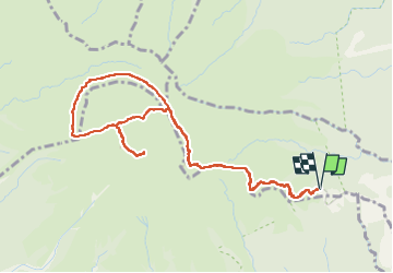

9.4 km | 14.9 km-effort


User GUIDE


FREE GPS app for hiking
 SityTrail
IGN / Geographical institutes
SityTrail World
The world is yours!
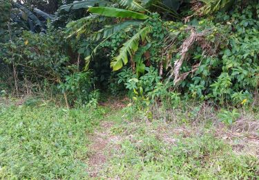
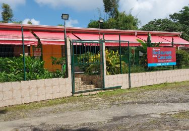
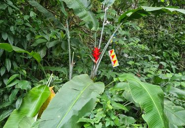
Trail Walking of 7.5 km to be discovered at Martinique, Unknown, L'Ajoupa-Bouillon. This trail is proposed by Alizée.pee.
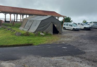
Départ du refuge de l’Aileron, passage par la Caldeira et le chinois puis retour au refuge.


Walking
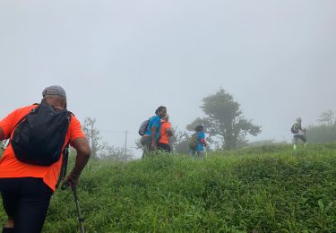
Walking
Walking
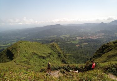
Walking
Walking
Walking
Walking

Walking
Walking