


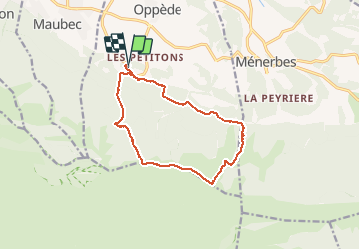

16.7 km | 27 km-effort


User


FREE GPS app for hiking
 SityTrail
IGN / Geographical institutes
SityTrail World
The world is yours!
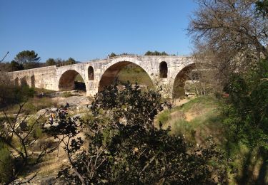
Trail Walking of 13.6 km to be discovered at Provence-Alpes-Côte d'Azur, Vaucluse, Oppède. This trail is proposed by MicDul.


Walking

Walking

Walking

Mountain bike
Mountain bike
Walking
Walking
Walking
Road bike
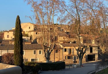
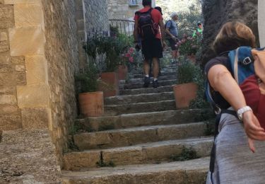
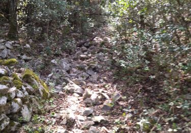
très belle randonnée avec des paysages différents tout le long de la rando. la montée de combe de combres est assez éprouvante