


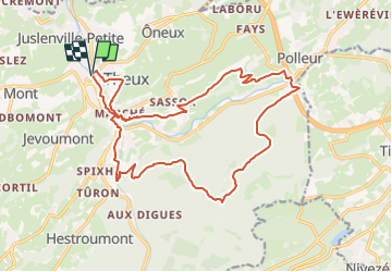


12.7 km | 16.8 km-effort


Randonnées de la Maison du Tourisme de Spa Hautes-Fagnes Ardennes PRO


FREE GPS app for hiking
 SityTrail
IGN / Geographical institutes
SityTrail World
The world is yours!
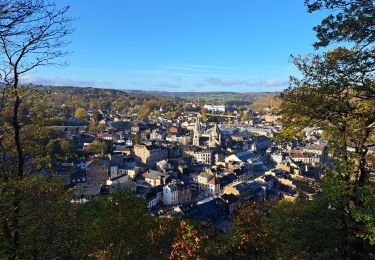
Trail Trail of 18.3 km to be discovered at Wallonia, Liège, Theux. This trail is proposed by Maison du Tourisme de Spa Hautes-Fagnes Ardennes.
To get the latest Extratrail® information and up-to-date GPX tracks, you can visit the Extratrail® website directly:
www.extratrail.com
EXTRATRAIL
Haut Nivezé, 25
4845 Jalhay
Belgium
run@extratrail.com
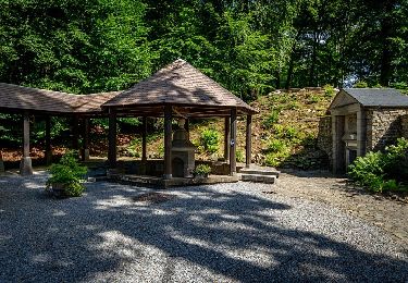
 18 km - Photo 1")

Walking

Walking

Cycle
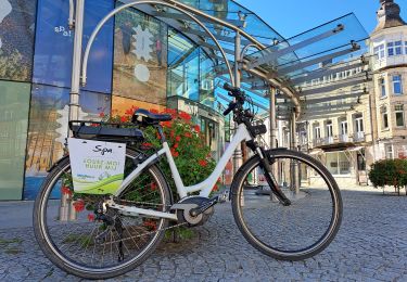
Electric bike
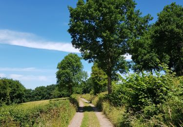
Walking
On foot
On foot
Walking
On foot