


La Mondonette +636

claude nier
User

Length
11.8 km

Max alt
1685 m

Uphill gradient
636 m
Km-Effort
20 km

Min alt
1192 m

Downhill gradient
655 m
Boucle
Yes
Creation date :
2022-12-29 16:32:02.423
Updated on :
2022-12-29 16:33:47.414
4h37
Difficulty : Very difficult

FREE GPS app for hiking
 SityTrail
IGN / Geographical institutes
SityTrail Plus
The world is yours!
About
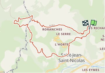
Trail Walking of 11.8 km to be discovered at Provence-Alpes-Côte d'Azur, Hautes-Alpes, Saint-Jean-Saint-Nicolas. This trail is proposed by claude nier.
Description
Beau paysage
Petite rando du Dimanche ....
Positioning
Country:
France
Region :
Provence-Alpes-Côte d'Azur
Department/Province :
Hautes-Alpes
Municipality :
Saint-Jean-Saint-Nicolas
Location:
Unknown
Start:(Dec)
Start:(UTM)
280270 ; 4951337 (32T) N.
Comments