


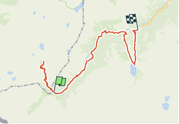

17.3 km | 34 km-effort

User GUIDE


FREE GPS app for hiking
 SityTrail
IGN / Geographical institutes
SityTrail World
The world is yours!
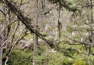
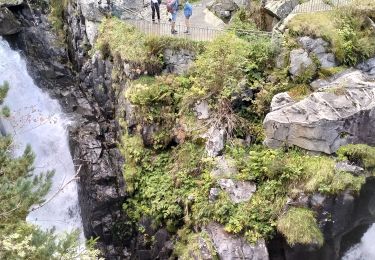
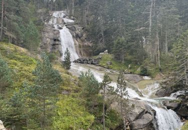
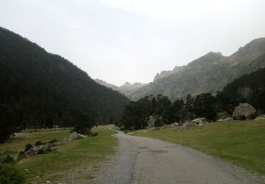
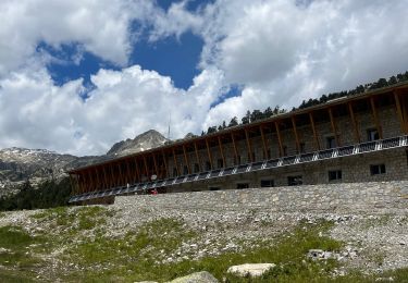
Trail Walking of 18.8 km to be discovered at Occitania, Hautespyrenees, Cauterets. This trail is proposed by holtzv.
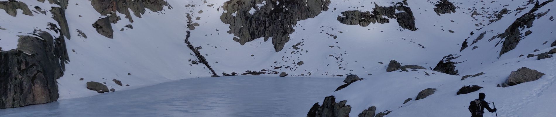
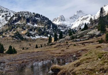
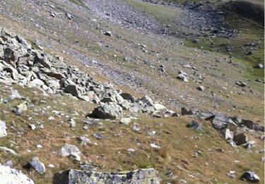
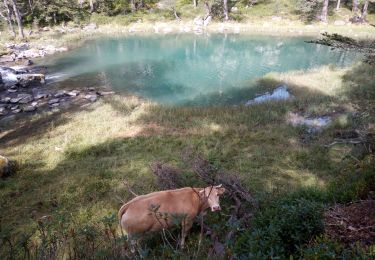
En passant par le lac Nère et le lac de Gaube


Walking
Walking
Walking
Walking
Walking
Walking
Walking
Walking
Walking