


Mont Joigny et pointe de Georgeat

nadd73
User GUIDE
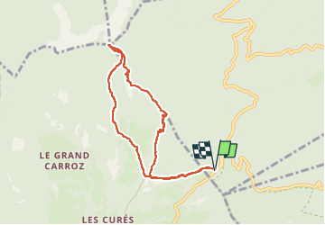

Length
7.7 km

Max alt
1552 m

Uphill gradient
469 m
Km-Effort
14 km

Min alt
1136 m

Downhill gradient
471 m
Boucle
Yes
Creation date :
2023-01-01 09:26:58.74
Updated on :
2023-01-04 17:58:07.474
2h26
Difficulty : Easy

FREE GPS app for hiking
 SityTrail
IGN / Geographical institutes
SityTrail Plus
The world is yours!
About
Trail Walking of 7.7 km to be discovered at Auvergne-Rhône-Alpes, Savoy, Apremont. This trail is proposed by nadd73.
Positioning
Country:
France
Region :
Auvergne-Rhône-Alpes
Department/Province :
Savoy
Municipality :
Apremont
Location:
Unknown
Start:(Dec)
Start:(UTM)
727742 ; 5040399 (31T) N.
Comments