


Boenlesgrab P Ballon

ROPPJP
User
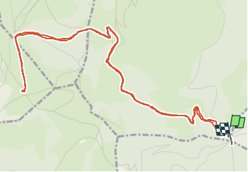

Length
8 km

Max alt
1202 m

Uphill gradient
337 m
Km-Effort
12.4 km

Min alt
871 m

Downhill gradient
335 m
Boucle
Yes
Creation date :
2023-01-04 08:37:17.927
Updated on :
2023-01-05 15:18:38.917
3h39
Difficulty : Difficult

FREE GPS app for hiking
 SityTrail
IGN / Geographical institutes
SityTrail Plus
The world is yours!
About
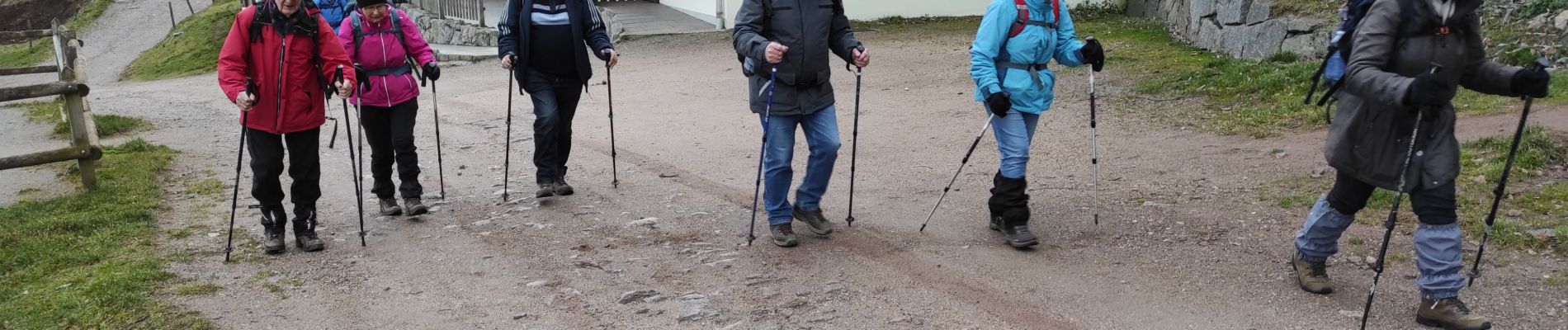
Trail Walking of 8 km to be discovered at Grand Est, Haut-Rhin, Wasserbourg. This trail is proposed by ROPPJP.
Photos


Positioning
Country:
France
Region :
Grand Est
Department/Province :
Haut-Rhin
Municipality :
Wasserbourg
Location:
Unknown
Start:(Dec)
Start:(UTM)
361762 ; 5315362 (32T) N.
Comments