


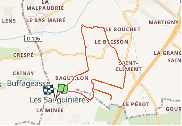
Les Sanguinières circuit 2

olaze
User

Length
8.9 km

Max alt
33 m

Uphill gradient
41 m
Km-Effort
9.5 km

Min alt
14 m

Downhill gradient
41 m
Boucle
Yes
Creation date :
2014-12-10 00:00:00.0
Updated on :
2014-12-10 00:00:00.0
2h06
Difficulty : Easy

FREE GPS app for hiking
 SityTrail
IGN / Geographical institutes
SityTrail Plus
The world is yours!
About
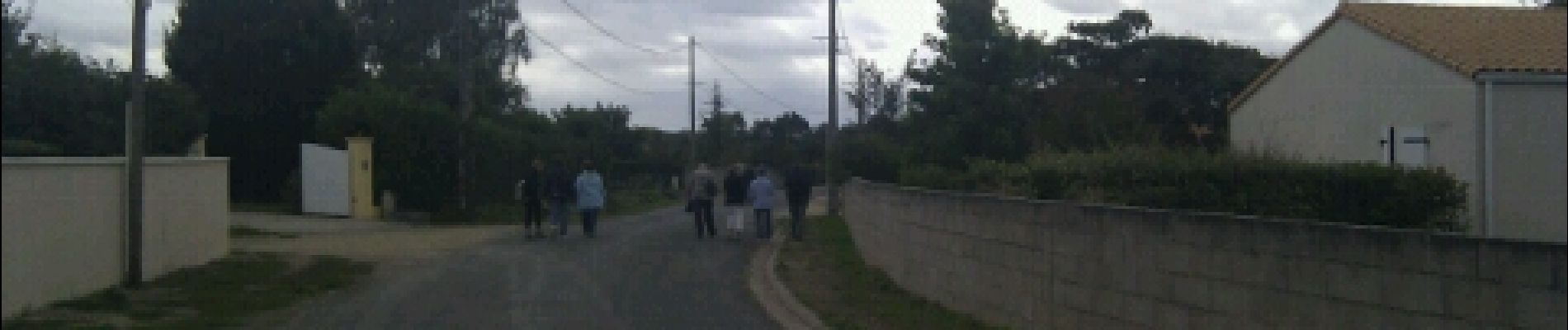
Trail Walking of 8.9 km to be discovered at New Aquitaine, Deux-Sèvres, Fors. This trail is proposed by olaze.
Photos


Positioning
Country:
France
Region :
New Aquitaine
Department/Province :
Deux-Sèvres
Municipality :
Fors
Location:
Unknown
Start:(Dec)
Start:(UTM)
697096 ; 5126080 (30T) N.
Comments