


hameau segure chapelle et château de notre dame de fast

Erius
User
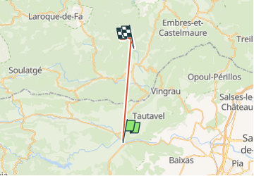

Length
25 km

Max alt
489 m

Uphill gradient
1076 m
Km-Effort
39 km

Min alt
72 m

Downhill gradient
971 m
Boucle
No
Creation date :
2023-01-11 08:10:20.195
Updated on :
2023-01-11 12:34:26.227
2h06
Difficulty : Medium

FREE GPS app for hiking
 SityTrail
IGN / Geographical institutes
SityTrail Plus
The world is yours!
About
Trail Walking of 25 km to be discovered at Occitania, Pyrénées-Orientales, Estagel. This trail is proposed by Erius.
Description
traverser tout tuchan ne pas suivre ttes direction
9 km 300m -
montées raides
sol défoncé
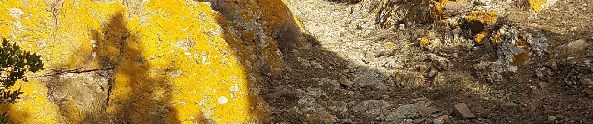
garrigue de persistants
Photos

Positioning
Country:
France
Region :
Occitania
Department/Province :
Pyrénées-Orientales
Municipality :
Estagel
Location:
Unknown
Start:(Dec)
Start:(UTM)
475069 ; 4735877 (31T) N.
Comments