Trail Walking Meix-devant-Virton - Gite-de-gaume : Entre France et Belgique  - Photo

Gite-de-gaume : Entre France et Belgique

© OpenStreetMap contributors
Length
Length
26 km
Max alt
Max alt
336 m
Uphill gradient
Uphill gradient
467 m
Km-Effort
Km-Effort  
33 km
Min alt
Min alt
213 m
Downhill gradient
Downhill gradient
466 m
Boucle
Boucle
Yes
Creation date :
2023-01-12 08:31:28.775
Updated on :
2023-01-14 09:57:04.1

(0 Reviews)

Walking
Walking
4h56
Difficulty : Difficult

Scan this QR Code to open this trail in the SityTrail application

FREE GPS app for hiking

Logo SityTrail SityTrail

IGN / Geographical institutes

Download SityTrail from the App Store Download SityTrail from Google Play

Logo SityTrail SityTrail Plus

The world is yours!

Download SityTrail from the App Store Download SityTrail from Google Play Download SityTrail on Huawei AppGallery

About

Trail Walking of 26 km to be discovered at Wallonia, Luxembourg, Meix-devant-Virton. This trail is proposed by dragonchef.

Description

Au départ de Sommethonne, découvrez la frontière française, sillonnez le long du fossé frontière, à la découverte de la 3 eme cuesta, chemin des romais, le village typique de Breux, vue sur Avioth, aire de faulde, ....

Un parcours où vous allez effectuer un peu de hors piste
Il est utile de maîtriser les notions de base en cartographie.  
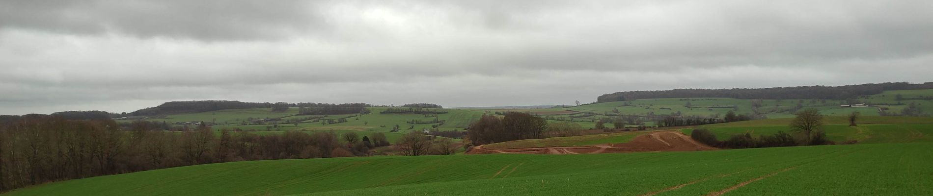
Elevation profile

Photos

25 photos in total. Please click on a photo to see them all in the gallery.

Points of interest

Point of interest Thonne-la-Long - frontière française  - Photo
dragonchef
THONNE-LA-LONG 

Positioning

Country:
Belgium
Region :
Wallonia
Department/Province :
Luxembourg
Municipality :
Meix-devant-Virton
Location:
Unknown
Start:(UTM)
676960 ; 5494667 (31U) N.


Close
My subscriptions