


Soreda2

Phidel66
User
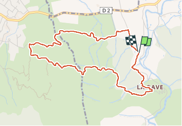

Length
5.8 km

Max alt
222 m

Uphill gradient
145 m
Km-Effort
7.7 km

Min alt
83 m

Downhill gradient
144 m
Boucle
Yes
Creation date :
2023-01-13 12:43:20.737
Updated on :
2025-02-09 09:59:28.208
1h44
Difficulty : Medium

FREE GPS app for hiking
 SityTrail
IGN / Geographical institutes
SityTrail Plus
The world is yours!
About
Trail Walking of 5.8 km to be discovered at Occitania, Pyrénées-Orientales, Argelès-sur-Mer. This trail is proposed by Phidel66.
Description
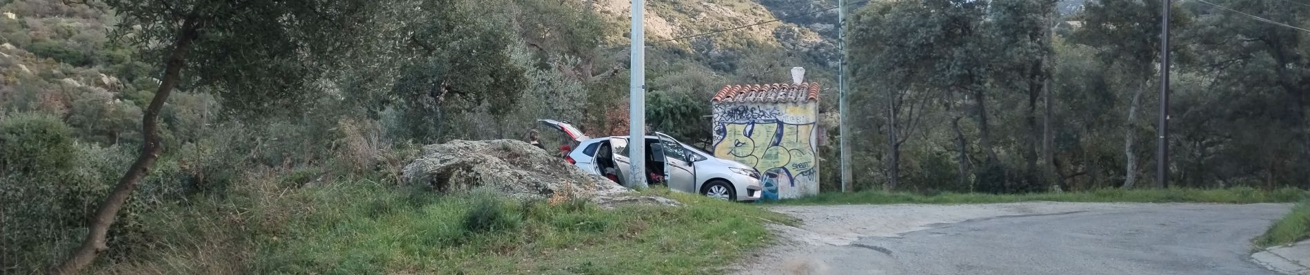
Romarin
Photos


Positioning
Country:
France
Region :
Occitania
Department/Province :
Pyrénées-Orientales
Municipality :
Argelès-sur-Mer
Location:
Unknown
Start:(Dec)
Start:(UTM)
498822 ; 4708216 (31T) N.
Comments