


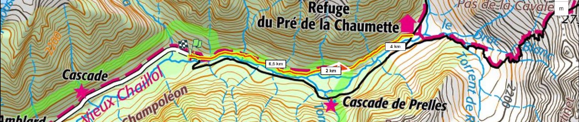
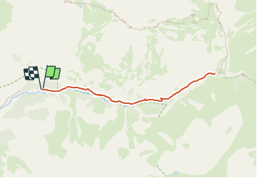
Ref du pré de la Chaumette D+345m depuis P des Auberts

ericberlin
User

Length
7.6 km

Max alt
1828 m

Uphill gradient
339 m
Km-Effort
12.1 km

Min alt
1484 m

Downhill gradient
344 m
Boucle
Yes
Creation date :
2023-01-18 17:30:57.358
Updated on :
2023-06-05 14:52:26.671
2h45
Difficulty : Difficult
0m
Difficulty : Medium

FREE GPS app for hiking
 SityTrail
IGN / Geographical institutes
SityTrail Plus
The world is yours!
About
Trail Walking of 7.6 km to be discovered at Provence-Alpes-Côte d'Azur, Hautes-Alpes, Champoléon. This trail is proposed by ericberlin.
Description
https://refugepredelachaumette.ffcam.fr/
Alt 1450m
Photos

Positioning
Country:
France
Region :
Provence-Alpes-Côte d'Azur
Department/Province :
Hautes-Alpes
Municipality :
Champoléon
Location:
Unknown
Start:(Dec)
Start:(UTM)
285150 ; 4960149 (32T) N.
Comments