


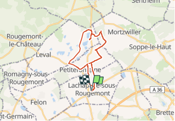

27 km | 40 km-effort


User


FREE GPS app for hiking
 SityTrail
IGN / Geographical institutes
SityTrail World
The world is yours!
Trail Walking of 11.6 km to be discovered at Bourgogne-Franche-Comté, Territoire-de-Belfort, Lachapelle-sous-Rougemont. This trail is proposed by Richard68500.
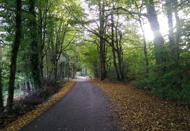
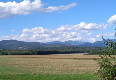
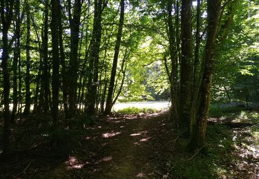
Randonnée promenadesans difficulté mais beaucoup de "gadoue"

Walking

Walking

Walking


Mountain bike

Walking
Walking
Walking
Walking