


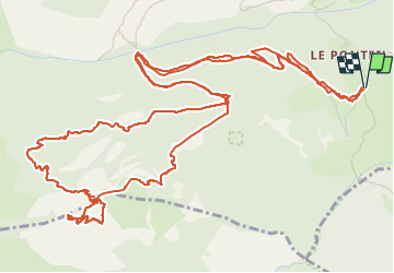

14.7 km | 26 km-effort

User


FREE GPS app for hiking
 SityTrail
IGN / Geographical institutes
SityTrail World
The world is yours!
Trail Touring skiing of 10.1 km to be discovered at Provence-Alpes-Côte d'Azur, Hautes-Alpes, Champcella. This trail is proposed by tchoua.
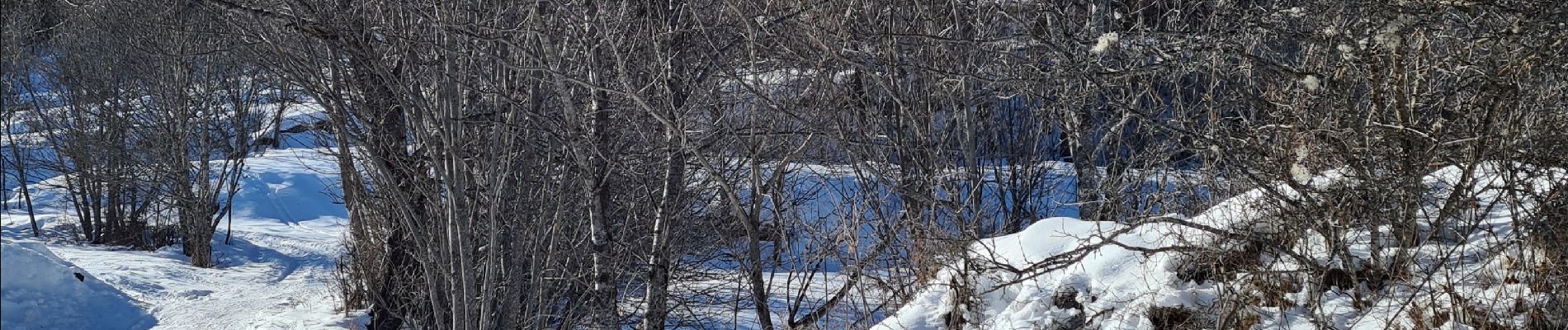
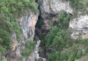
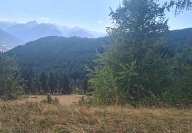
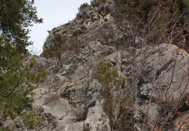
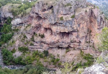
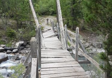
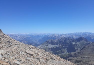
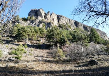
pour accéder au départ monter en voiture au dessus du ponteil endroit dit le lavoir puis prendre la route forestière qui va a la bergerie de Tramouillon à un moment donné il y a un autre chemin qui va vers la gauche le prendre et remonter dans les mélèzes en naviguant à vue dans la forêt avec gps et carte SityTrail, cheminement entre gros blocs de rochers et barres rocheuses, finalement et heureusement une petite brèche nous permet d accéder à ce sommet qui est vraiment une citadelle imprenable quand on regarde autour, pour la descente rester vigilant et précis a cause ds barres si on veut couper directement .


Walking
Walking

Walking
Mountain bike
Walking
Walking
Walking
Walking
Walking