


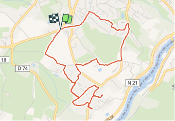

6.6 km | 8.1 km-effort


User


FREE GPS app for hiking
 SityTrail
IGN / Geographical institutes
SityTrail World
The world is yours!
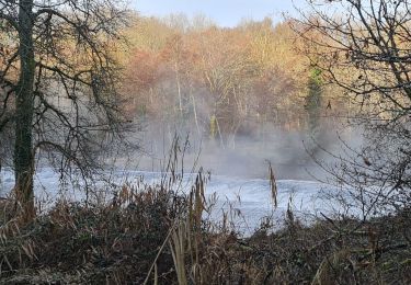
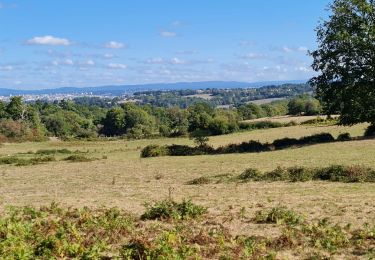
Trail Walking of 6.1 km to be discovered at New Aquitaine, Haute-Vienne, Isle. This trail is proposed by coeurdom.
ventre noir chabroulie balezy retour par lot

Nordic walking

Walking
Walking
Walking
Walking
Walking

Walking

Walking