


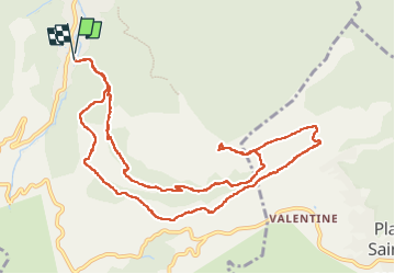

12.7 km | 20 km-effort

User


FREE GPS app for hiking
 SityTrail
IGN / Geographical institutes
SityTrail World
The world is yours!
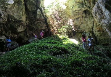
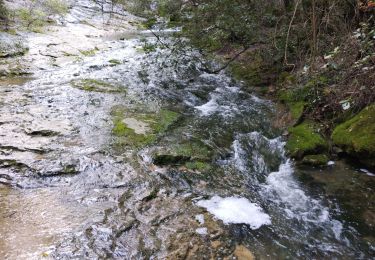
Trail Walking of 13.7 km to be discovered at Provence-Alpes-Côte d'Azur, Bouches-du-Rhône, Auriol. This trail is proposed by cousam.
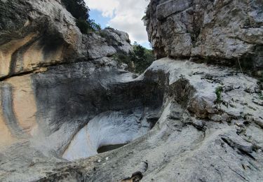
forte montée pour arriver à la tête de chien


Walking

Walking

Walking

Walking

On foot
Walking
Walking
Walking
Walking