


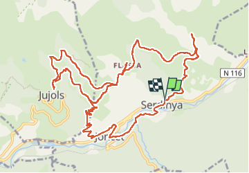
serdinya hors flasha jujols Joncet

FAUCET
User

Length
17 km

Max alt
1023 m

Uphill gradient
779 m
Km-Effort
27 km

Min alt
523 m

Downhill gradient
782 m
Boucle
Yes
Creation date :
2023-01-29 08:46:04.764
Updated on :
2023-01-29 15:56:22.9
5h11
Difficulty : Very difficult

FREE GPS app for hiking
 SityTrail
IGN / Geographical institutes
SityTrail Plus
The world is yours!
About
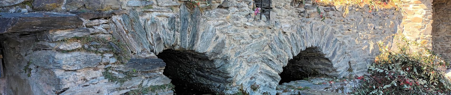
Trail Walking of 17 km to be discovered at Occitania, Pyrénées-Orientales, Serdinya. This trail is proposed by FAUCET.
Photos


Positioning
Country:
France
Region :
Occitania
Department/Province :
Pyrénées-Orientales
Municipality :
Serdinya
Location:
Unknown
Start:(Dec)
Start:(UTM)
444457 ; 4713188 (31T) N.
Comments