


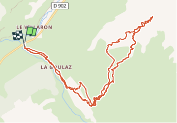

9.8 km | 22 km-effort

User


FREE GPS app for hiking
 SityTrail
IGN / Geographical institutes
SityTrail World
The world is yours!
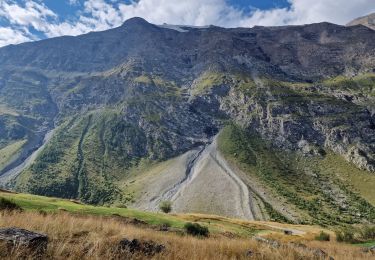
Trail Touring skiing of 15.6 km to be discovered at Auvergne-Rhône-Alpes, Savoy, Bessans. This trail is proposed by nadd73.
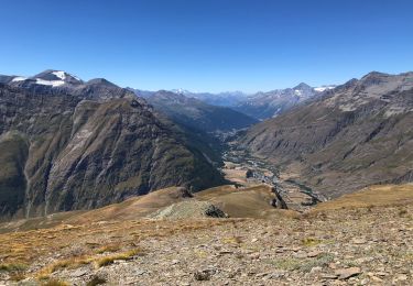
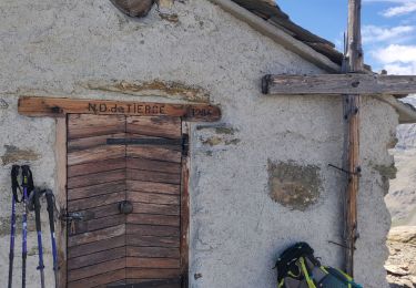
Jolie rando avec de belles ruines en pierre.
Un peu de plat sur les pistes de ski de fond.


Other activity
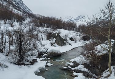
![Trail Walking Bonneval-sur-Arc - Bonneval-sur-Arc / Bessans [neige] - J4 - Photo](https://media.geolcdn.com/t/375/260/ext.jpg?maxdim=2&url=https%3A%2F%2Fmedia.geolcdn.com%2Ff%2F28d35c22-b143-4338-8bb6-93842cf637ce.jpg)
Walking
Walking
Walking
Walking
Walking
Walking
Walking
Walking