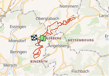
Trail Walking Mersch - bierengebierge - Photo
© OpenStreetMap contributors
Length
Length
19.8 km
Max alt
Max alt
431 m
Uphill gradient
Uphill gradient
548 m
Km-Effort
Km-Effort  
27 km
Min alt
Min alt
318 m
Downhill gradient
Downhill gradient
553 m
Boucle
Boucle
Yes
Creation date :
14/02/2023 09:26
Updated on :
14/02/2023 14:25

(0 Reviews)

Walking
Walking
4h28
Difficulty : Medium

Scan this QR Code to open this trail in the SityTrail application

FREE GPS app for hiking

Logo SityTrail SityTrail

IGN / Geographical institutes

Download SityTrail from the App Store Download SityTrail from Google Play

Logo SityTrail SityTrail Plus

The world is yours!

Download SityTrail from the App Store Download SityTrail from Google Play Download SityTrail on Huawei AppGallery

About

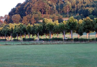
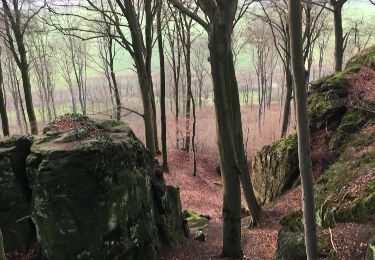
Trail Walking of 19.8 km to be discovered at Unknown, Canton Mersch, Mersch. This trail is proposed by dragonchef.

Description

mersch/ mullerthal deux boucles

Elevation profile

Positioning

Country:
Luxembourg
Region :
Unknown
Department/Province :
Canton Mersch
Municipality :
Mersch
Location:
Unknown
Start:(UTM)
294025 ; 5516477 (32U) N.


Close
My subscriptions