


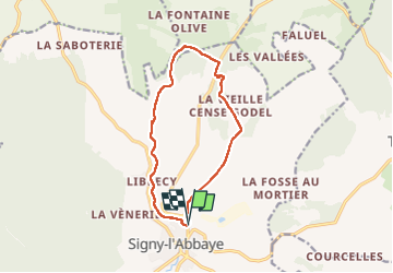

18.2 km | 23 km-effort


User


FREE GPS app for hiking
 SityTrail
IGN / Geographical institutes
SityTrail World
The world is yours!
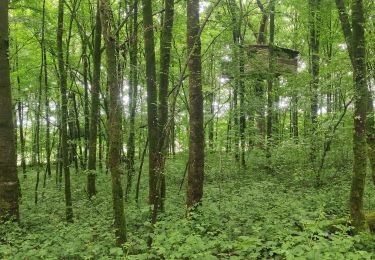
Trail Walking of 10.8 km to be discovered at Grand Est, Ardennes, Signy-l'Abbaye. This trail is proposed by Tommy Eric.

Walking

Mountain bike
Mountain bike
Walking
Walking
Walking


sport

Mountain bike
Mountain bike
phénomène géologique du signacien.