


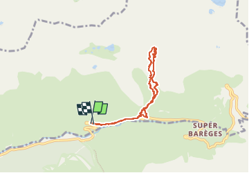

16 km | 34 km-effort

User


FREE GPS app for hiking
 SityTrail
IGN / Geographical institutes
SityTrail World
The world is yours!
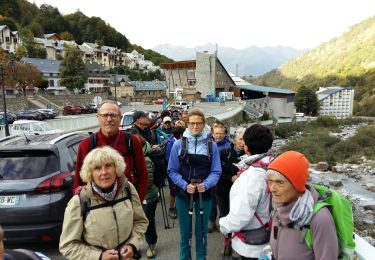
Trail Horseback riding of 7.4 km to be discovered at Occitania, Hautespyrenees, Sers. This trail is proposed by orsel.
À la borne 35 de la d918 monter à gauche rive gauche du torrent qui descend puis rejoindre à gauche la cabane d’aoube
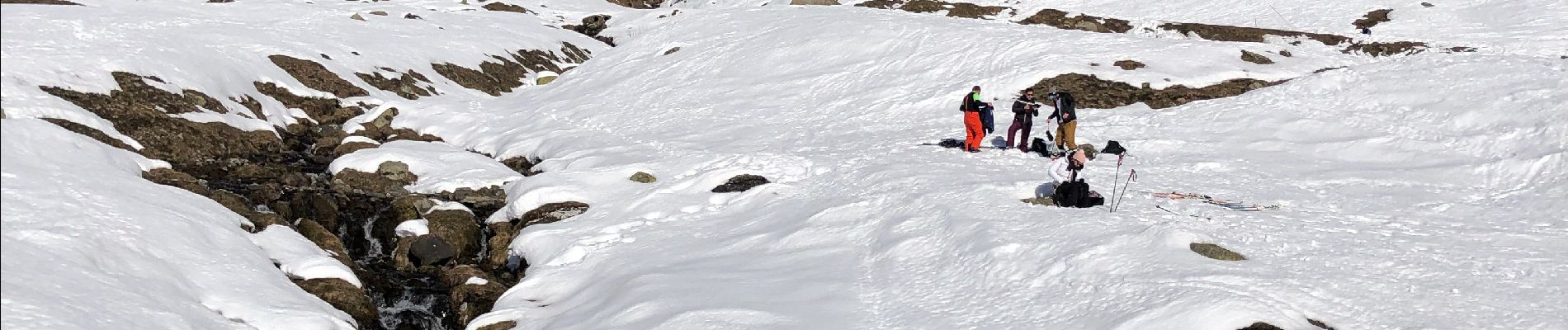
Puis monter à droite et passer à gauche des gros rochers au centre …..


Walking

Walking
Walking

Walking
Walking

Walking
Walking
Walking
On foot