


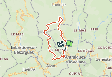

14.1 km | 24 km-effort


User


FREE GPS app for hiking
 SityTrail
IGN / Geographical institutes
SityTrail World
The world is yours!
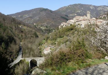
Trail Walking of 14.1 km to be discovered at Auvergne-Rhône-Alpes, Ardèche, Vallées-d'Antraigues-Asperjoc. This trail is proposed by cousam.
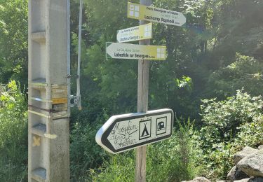
Apres1.5km et 3km suivre le tracé (je suis passé sur une propriété privé)
Egalement au km 6.9 suivre le fléchage jaune blanc, car le sentier pointillé sur la carte n'existe pas dans la forêt.
A faire à l'envers


Walking

Walking
Walking
Walking

Walking
Walking
Walking
Walking
Walking