


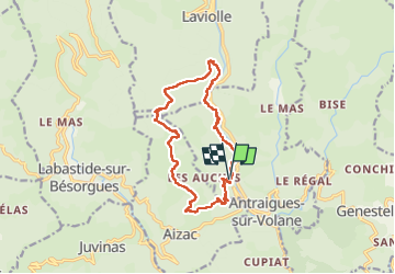

14.1 km | 24 km-effort

User


FREE GPS app for hiking
 SityTrail
IGN / Geographical institutes
SityTrail World
The world is yours!
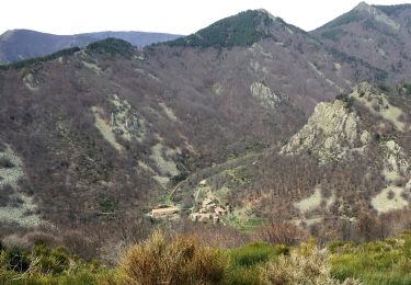
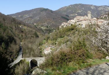
Trail Walking of 14.4 km to be discovered at Auvergne-Rhône-Alpes, Ardèche, Vallées-d'Antraigues-Asperjoc. This trail is proposed by himba26100.
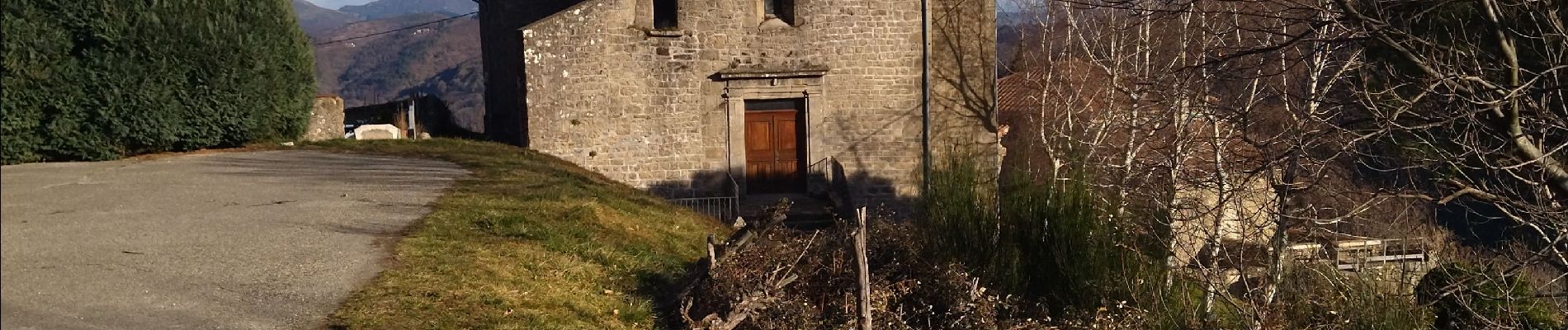
faire la rando ds sens horaire pour éviter de perdre le sentier entre les 2. photos(km 8.5 et km5)du rocher de rouyon
belle rando
jp gêne
19.02.23


Walking

Walking
Walking
Walking

Walking

Walking
Walking
Walking
Walking