


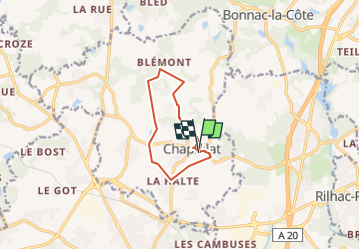

26 km | 31 km-effort


User


FREE GPS app for hiking
 SityTrail
IGN / Geographical institutes
SityTrail World
The world is yours!
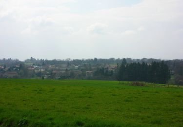
Trail Walking of 8.8 km to be discovered at New Aquitaine, Haute-Vienne, Chaptelat. This trail is proposed by frederic.farge.
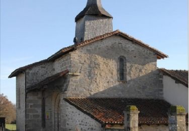
Chaptelat a k aire pas si mal !!
Mountain bike

Walking
On foot

Walking
Walking

Mountain bike
Walking

Mountain bike


sport