


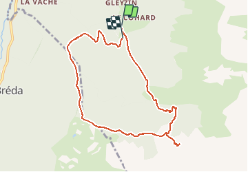

12.2 km | 28 km-effort


User


FREE GPS app for hiking
 SityTrail
IGN / Geographical institutes
SityTrail World
The world is yours!
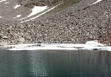
Trail Walking of 9.5 km to be discovered at Auvergne-Rhône-Alpes, Isère, Le Haut-Bréda. This trail is proposed by makounet.
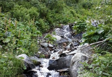
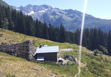
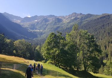
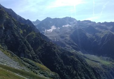
Belledonne
Départ : 45°33'4469'', 6°11'9822''
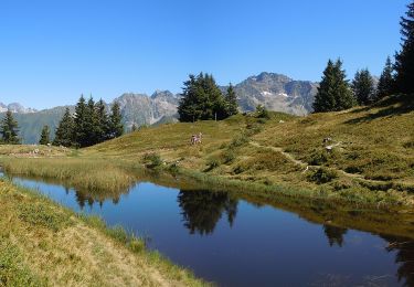
Walking
Walking

Walking
Walking
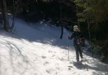
Snowshoes
On foot
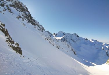
Touring skiing
Walking
Walking