


robion sommet

Danielba
User GUIDE
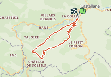

Length
16.6 km

Max alt
1642 m

Uphill gradient
1171 m
Km-Effort
32 km

Min alt
725 m

Downhill gradient
1172 m
Boucle
Yes
Creation date :
2023-03-05 07:31:02.967
Updated on :
2023-03-07 06:19:39.399
8h17
Difficulty : Very difficult

FREE GPS app for hiking
 SityTrail
IGN / Geographical institutes
SityTrail Plus
The world is yours!
About
Trail Walking of 16.6 km to be discovered at Provence-Alpes-Côte d'Azur, Alpes-de-Haute-Provence, Castellane. This trail is proposed by Danielba .
Description
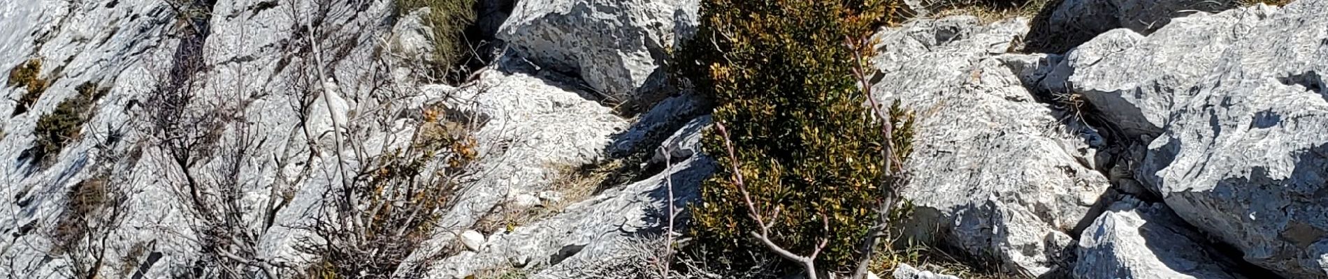
Attention passage en crête aérienne. Ne pas faire si les roches sont glissantes.
Photos


Positioning
Country:
France
Region :
Provence-Alpes-Côte d'Azur
Department/Province :
Alpes-de-Haute-Provence
Municipality :
Castellane
Location:
Unknown
Start:(Dec)
Start:(UTM)
299039 ; 4856738 (32T) N.
Comments