


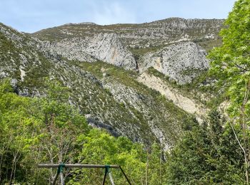
3.8 km | 5.5 km-effort
Castellane: Discover the best trails: 135 hiking trails, 29 bike and mountain-bike routes and 1 equestrian circuits. All these trails, routes and outdoor activities are available in our SityTrail applications for smartphones and tablets.

Walking


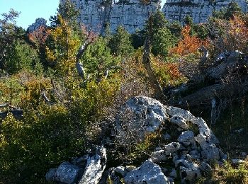
• Sentier original. Thématique sur les roches et les fossiles mis en place par la réserve géologique. Très beaux aména...
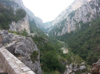
Walking

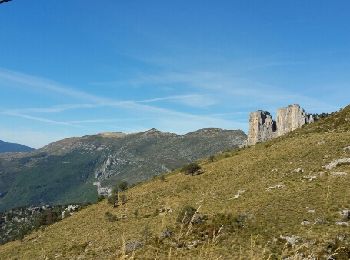
Walking
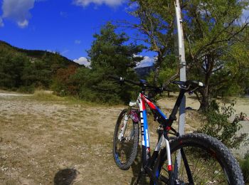
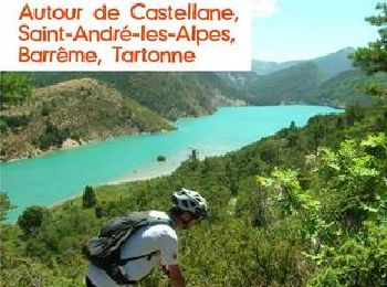
Mountain bike
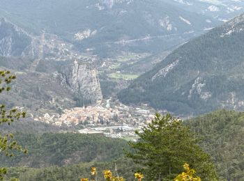
Walking
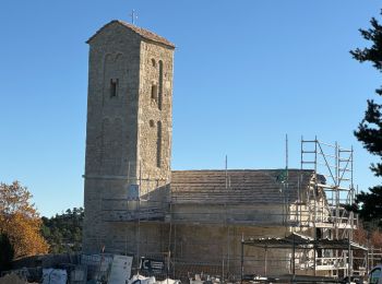
Walking
Walking
Walking
Walking
Walking
Walking
Walking
Walking
Walking
Walking
Walking
Motorbike
Walking
• Rando avec Pierre
Walking
• avec Patricia
Mountain bike
20 trails displayed on 169
FREE GPS app for hiking
 SityTrail
IGN / Geographical institutes
SityTrail World
The world is yours!