


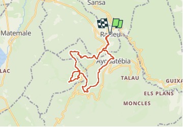

10.5 km | 18.1 km-effort

User


FREE GPS app for hiking
 SityTrail
IGN / Geographical institutes
SityTrail World
The world is yours!
Trail Walking of 15.8 km to be discovered at Occitania, Pyrénées-Orientales, Railleu. This trail is proposed by ThonyM.
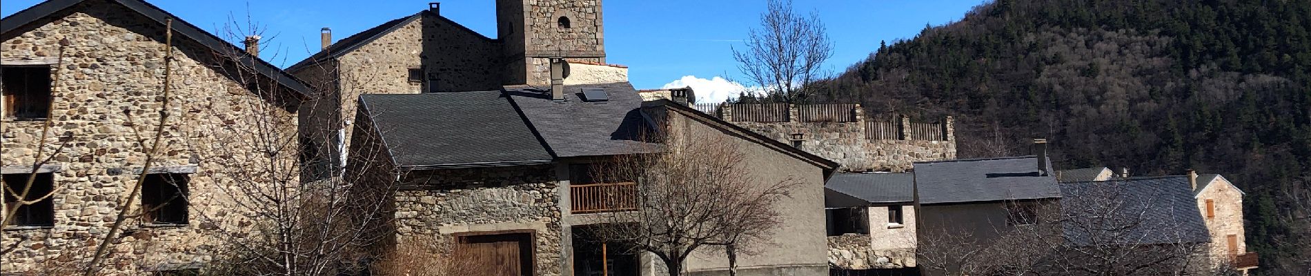
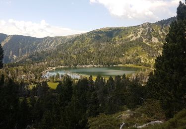
Ne pas oublier les saucisses à griller au lac de Caudies


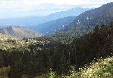
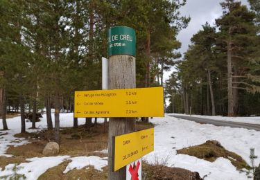
Walking
Snowshoes

Mountain bike
Walking
Walking

Walking
Walking

Snowshoes
Walking