


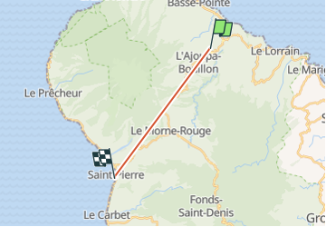

13.2 km | 16.5 km-effort


User


FREE GPS app for hiking
 SityTrail
IGN / Geographical institutes
SityTrail World
The world is yours!
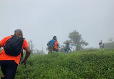
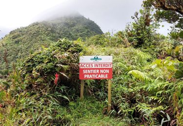
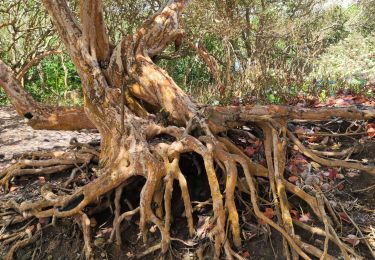
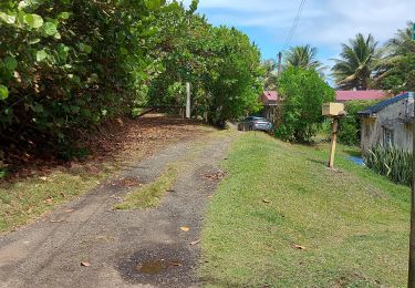
Trail Walking of 13.1 km to be discovered at Martinique, Unknown, Basse-Pointe. This trail is proposed by mala31.
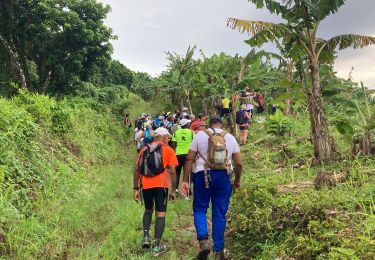
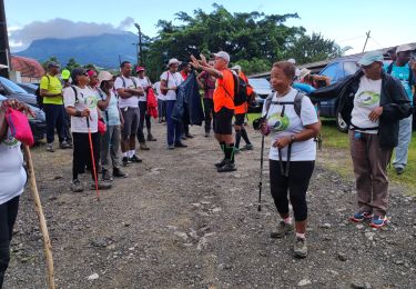
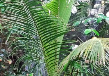
randonnée dans l eau jusqu à la cascade ou vous pourrez vous baigner. chaussures de randonnée de rigueur. trop difficile pour les enfants
Walking
Walking
Walking
Walking
Walking
Walking
Walking
Walking
Walking