


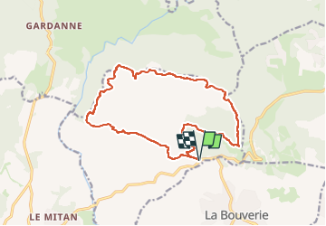

13.3 km | 18.3 km-effort

User


FREE GPS app for hiking
 SityTrail
IGN / Geographical institutes
SityTrail World
The world is yours!
Trail Walking of 17.3 km to be discovered at Provence-Alpes-Côte d'Azur, Var, Le Muy. This trail is proposed by donda.
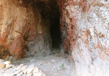
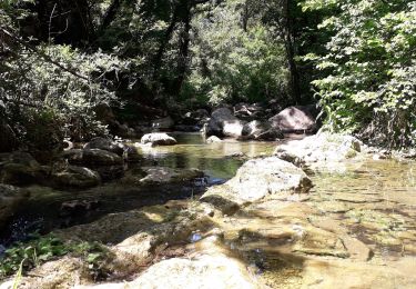
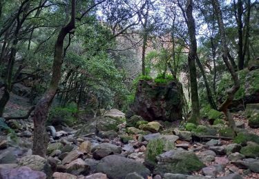
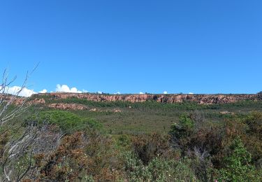
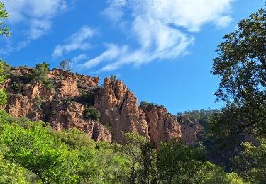
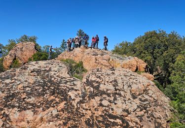
Parking sur la D47 Alt:118m - Pic du Castel Diaou - Fontaine du Chasseur - Rocher de la Fille d'Isnard - Pic Rébéquier - Château du Rouret - Parking


Walking

Walking
Walking

On foot
On foot
Walking
Walking
Walking
Walking
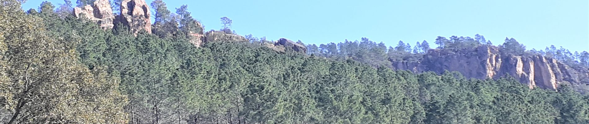
il faut se préparer à absorber les 650 de dénivelé dans les 5 premiers km.Sinon les points de vue sont magnifiques. Je vous ai parlé des 12km suivants ? a vous de les découvrir.
rando physique mais tellement belle