


wettstein

jcschubnel
User
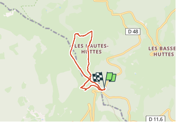

Length
5.2 km

Max alt
976 m

Uphill gradient
149 m
Km-Effort
7.2 km

Min alt
886 m

Downhill gradient
150 m
Boucle
Yes
Creation date :
2023-02-20 11:20:16.743
Updated on :
2023-03-25 08:03:18.258
2h42
Difficulty : Medium

FREE GPS app for hiking
 SityTrail
IGN / Geographical institutes
SityTrail Plus
The world is yours!
About
Trail Walking of 5.2 km to be discovered at Grand Est, Haut-Rhin, Orbey. This trail is proposed by jcschubnel.
Positioning
Country:
France
Region :
Grand Est
Department/Province :
Haut-Rhin
Municipality :
Orbey
Location:
Unknown
Start:(Dec)
Start:(UTM)
359778 ; 5327854 (32U) N.
Comments