


railleu sansa

FAUCET
User
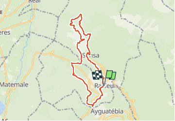

Length
17.2 km

Max alt
1739 m

Uphill gradient
881 m
Km-Effort
29 km

Min alt
1328 m

Downhill gradient
882 m
Boucle
Yes
Creation date :
2023-03-25 07:42:09.029
Updated on :
2023-03-25 14:19:04.866
5h02
Difficulty : Very difficult

FREE GPS app for hiking
 SityTrail
IGN / Geographical institutes
SityTrail Plus
The world is yours!
About
Trail Walking of 17.2 km to be discovered at Occitania, Pyrénées-Orientales, Railleu. This trail is proposed by FAUCET.
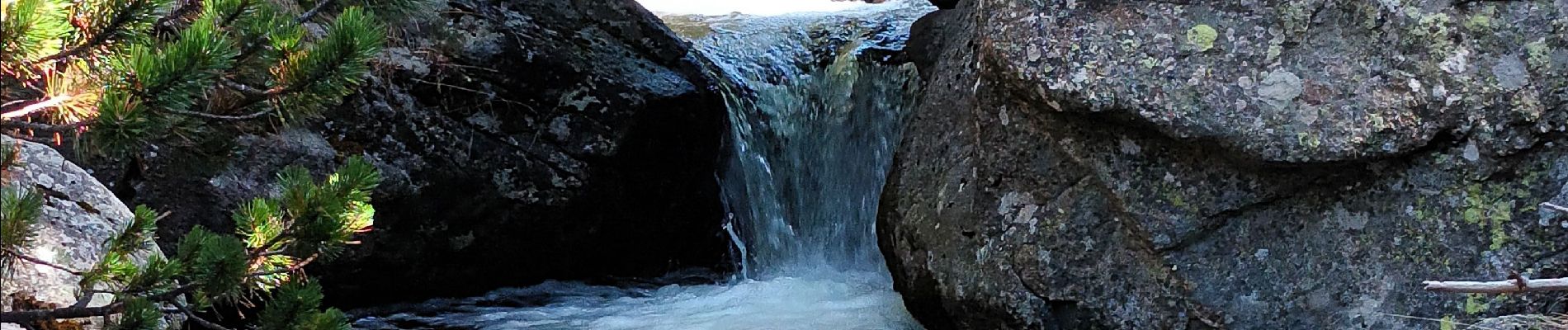
Photos


Positioning
Country:
France
Region :
Occitania
Department/Province :
Pyrénées-Orientales
Municipality :
Railleu
Location:
Unknown
Start:(Dec)
Start:(UTM)
432926 ; 4715160 (31T) N.
Comments