


retjons, prit, carreyre, badet - 7.6

les randonneurs rionnais
Pignada nous voilà

Length
2 km

Max alt
71 m

Uphill gradient
13 m
Km-Effort
2.2 km

Min alt
62 m

Downhill gradient
16 m
Boucle
No
Creation date :
2023-03-26 17:06:08.659
Updated on :
2023-03-26 17:14:12.661
2h00
Difficulty : Medium

FREE GPS app for hiking
 SityTrail
IGN / Geographical institutes
SityTrail Plus
The world is yours!
About
Trail Walking of 2 km to be discovered at New Aquitaine, Landes, Rion-des-Landes. This trail is proposed by les randonneurs rionnais.
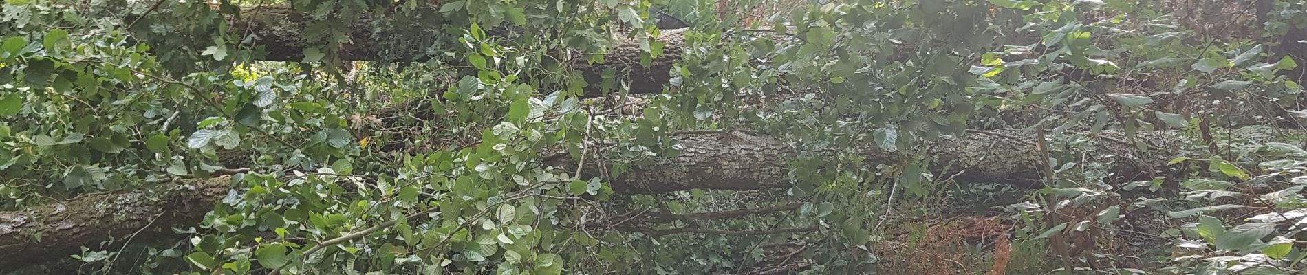
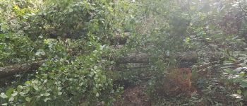
Photos

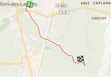
Positioning
Country:
France
Region :
New Aquitaine
Department/Province :
Landes
Municipality :
Rion-des-Landes
Location:
Rion-des-Landes
Start:(Dec)
Start:(UTM)
666936 ; 4866611 (30T) N.
Comments