


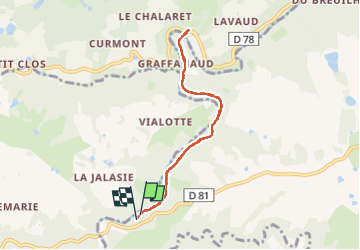

7.7 km | 10 km-effort


User


FREE GPS app for hiking
 SityTrail
IGN / Geographical institutes
SityTrail World
The world is yours!
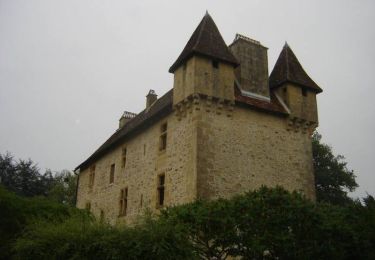
Trail Walking of 7.2 km to be discovered at New Aquitaine, Dordogne, Sarrazac. This trail is proposed by Patricew.
bel aller retour en bord de l'Isle
Walking

Walking
Walking
Walking
Walking
Walking
Walking
Walking
Walking