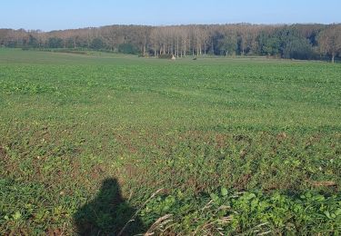

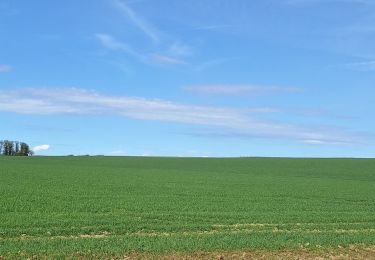
7.1 km | 7.6 km-effort

User


FREE GPS app for hiking
 SityTrail
IGN / Geographical institutes
SityTrail World
The world is yours!
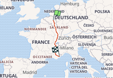
Trail Motorbike of 1349 km to be discovered at Wallonia, Liège, Remicourt. This trail is proposed by Tim0130.
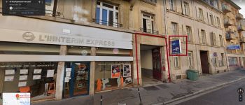
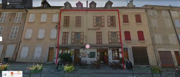
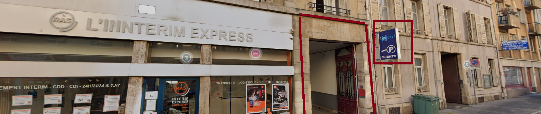
Jour 1 (stop Nancy => 343 Km)
- Revotel Centre Gare et Congrès
- Adresse : 43 Rue Raymond Poincaré, 54000 Nancy
- Téléphone : 33 3 83 28 02 13
- Web: https://www.revotel-hotel.com/fr/
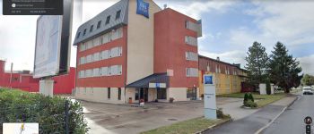
Jour 2 (stop Pontarlier => 314Km. Total Km:657Km)
- Ibis budget Pontarlier
-Adresse: 29 rue Denis Papin, 25300 Pontarlier
-Gps: 46.909624, 6.335264
-Téléphone: 33 892 70 04 46
-Mail: h7418@accor.com
-Web: https://all.accor.com/hotel/7418/index.fr.shtml?
dateIn=&nights=&compositions=1&stayplus=false&snu=false#section-location
Jour 3 (stop Mens => 369Km. Total Km: 1019Km)
- Les Dimathal
- Adresse: 91 rue du Breuil, 38710 Mens
- Téléphone: 33 6 82 97 03 44 ou 33 6 85 58 98 66
-Mail: lalezan@orange.fr
- Web: https://www.isere-tourisme.com/hebergement- locatif/les-dimathal
Jour 4 (arrivée Nice)


Walking
Walking
On foot
Walking
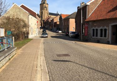
Walking
Walking
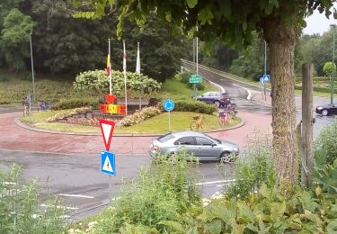
Other activity
Walking