


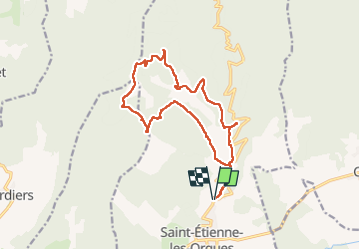

14.8 km | 19.3 km-effort


User


FREE GPS app for hiking
 SityTrail
IGN / Geographical institutes
SityTrail World
The world is yours!
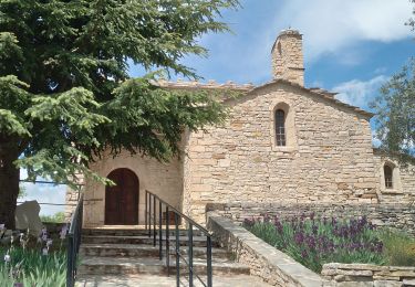
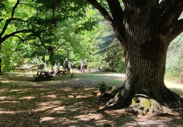
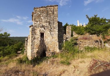
Trail Walking of 17.2 km to be discovered at Provence-Alpes-Côte d'Azur, Alpes-de-Haute-Provence, Saint-Étienne-les-Orgues. This trail is proposed by RobinMicheline.
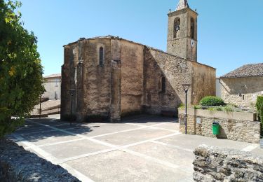
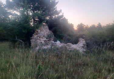
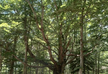
Belle rando , des petits sentiers , 8 jas beaucoup en ruine helas , montee reguliere et douce


Walking
Walking
Walking
Walking
Walking

Walking
Walking
Walking
Walking