


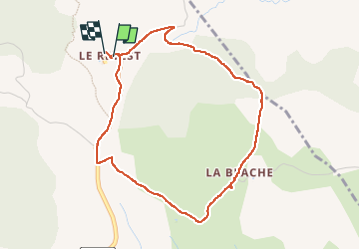

14.8 km | 19.3 km-effort

User


FREE GPS app for hiking
 SityTrail
IGN / Geographical institutes
SityTrail World
The world is yours!
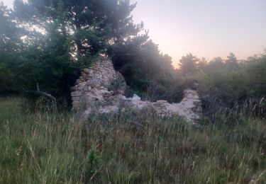
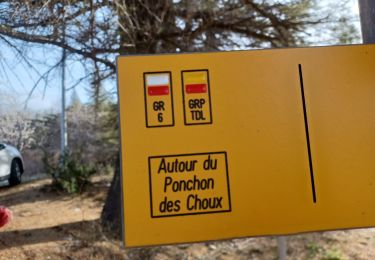
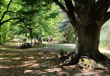
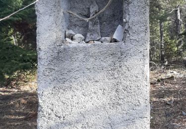
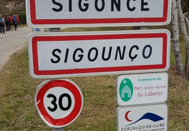
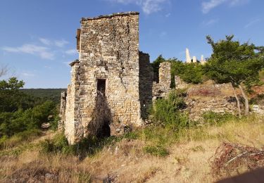
Trail Walking of 4.5 km to be discovered at Provence-Alpes-Côte d'Azur, Alpes-de-Haute-Provence, Revest-Saint-Martin. This trail is proposed by Roger .
randonnée familiale. pique nique au revest . vue sur lure


Walking
Walking
Walking
Walking
Walking
Walking
Walking
Walking
Walking