


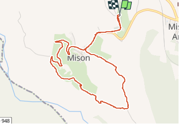

13.1 km | 21 km-effort

User


FREE GPS app for hiking
 SityTrail
IGN / Geographical institutes
SityTrail World
The world is yours!
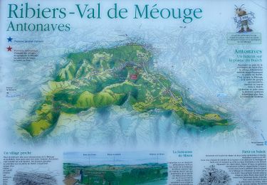
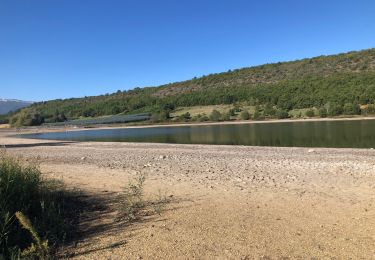
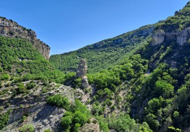
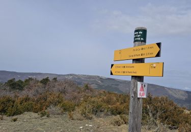
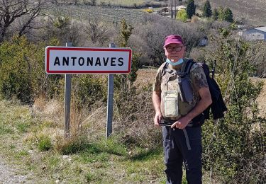
Trail On foot of 5.9 km to be discovered at Provence-Alpes-Côte d'Azur, Alpes-de-Haute-Provence, Mison. This trail is proposed by babouille.
Départ du cimetière rejoindre La Chapelle Sté Baume descendre à gauche vers le Buech puis tourner à droite prendre le chemin qui longe les champs. Rejoindre la route qui remonte en lacets vers la place des aires


Walking

Walking
Walking

sport
Walking
Walking
Walking
Walking
Walking