


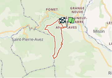

13.1 km | 21 km-effort


User


FREE GPS app for hiking
 SityTrail
IGN / Geographical institutes
SityTrail World
The world is yours!
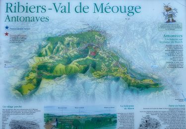
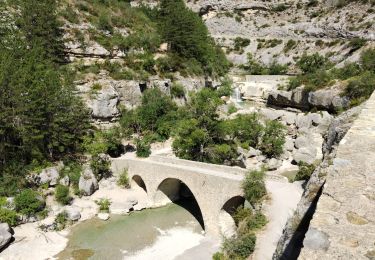
Trail Walking of 10.7 km to be discovered at Provence-Alpes-Côte d'Azur, Hautes-Alpes, Val-Buëch-Méouge. This trail is proposed by Marco05.
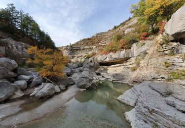
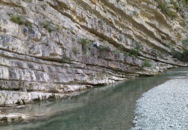
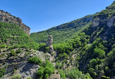
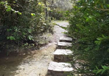
Très belle randonnée dans une ambiance plus sud que haute montagne.
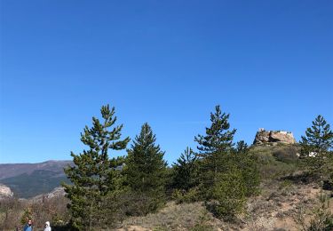
Pas de difficultés particulières, sauf une pente un peu raide pour finir au sommet.
Une fois atteint, il faudra faire attention au vide côté sud.
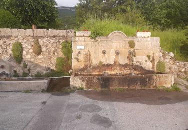
La descente est assez douce.


Walking

Walking
Walking
Walking
Walking
Walking
On foot
Walking
Walking