


THUES REFUGE DE EN GOUDEIL

FAUCET
User
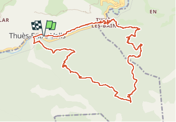

Length
15.2 km

Max alt
1516 m

Uphill gradient
863 m
Km-Effort
27 km

Min alt
745 m

Downhill gradient
861 m
Boucle
Yes
Creation date :
2023-04-19 06:32:22.133
Updated on :
2023-04-19 13:22:12.296
4h59
Difficulty : Very difficult

FREE GPS app for hiking
 SityTrail
IGN / Geographical institutes
SityTrail Plus
The world is yours!
About
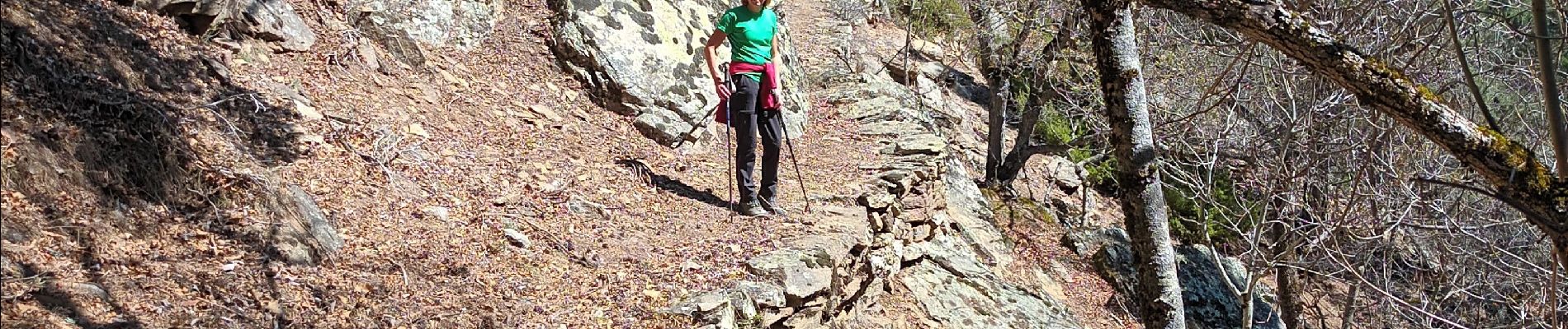
Trail Walking of 15.2 km to be discovered at Occitania, Pyrénées-Orientales, Thuès-Entre-Valls. This trail is proposed by FAUCET.
Photos


Positioning
Country:
France
Region :
Occitania
Department/Province :
Pyrénées-Orientales
Municipality :
Thuès-Entre-Valls
Location:
Unknown
Start:(Dec)
Start:(UTM)
436443 ; 4708388 (31T) N.
Comments