Trail Walking Castillon - Castillon : Mt Ours - Photo
 ETMU5496
ETMU5496

User

© OpenStreetMap contributors
Length
Length
16.7 km
Max alt
Max alt
1229 m
Uphill gradient
Uphill gradient
957 m
Km-Effort
Km-Effort  
29 km
Min alt
Min alt
734 m
Downhill gradient
Downhill gradient
955 m
Boucle
Boucle
Yes
Creation date :
2023-04-23 06:12:09.0
Updated on :
2023-04-24 14:13:21.22

(0 Reviews)

Walking
Walking
4h22
Difficulty : Medium

Scan this QR Code to open this trail in the SityTrail application

FREE GPS app for hiking

Logo SityTrail SityTrail

IGN / Geographical institutes

Download SityTrail from the App Store Download SityTrail from Google Play

Logo SityTrail SityTrail World

The world is yours!

Download SityTrail from the App Store Download SityTrail from Google Play Download SityTrail on Huawei AppGallery

About

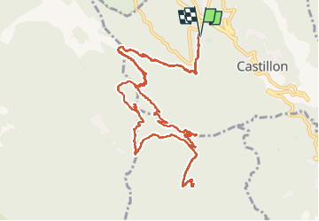
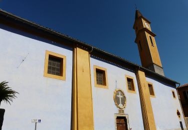
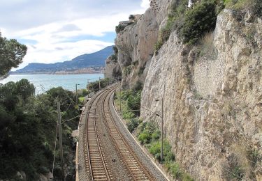
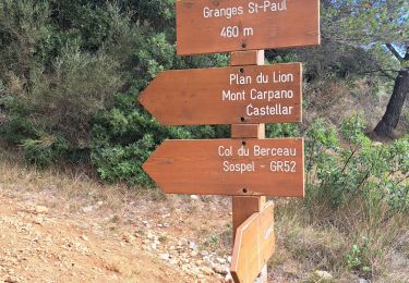
Trail Walking of 16.7 km to be discovered at Provence-Alpes-Côte d'Azur, Maritime Alps, Castillon. This trail is proposed by ETMU5496.

Description

Pointe de Siricocca et Pic de Garuche

Elevation profile

Photos

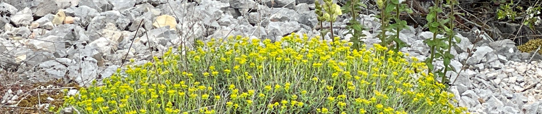
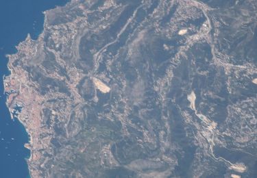
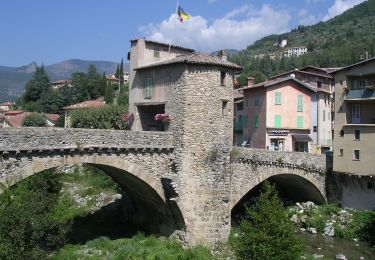
24 photos in total. Please click on a photo to see them all in the gallery.

Positioning

Country:
France
Region :
Provence-Alpes-Côte d'Azur
Department/Province :
Maritime Alps
Municipality :
Castillon
Location:
Unknown
Start:(UTM)
376234 ; 4854959 (32T) N.

Trails nearby

Trail Walking Castellar - Mont Carpano en boucle - Photo
Walking
boboazur

Walking

Medium
(1)
Castellar, Provence-Alpes-Côte d'Azur, Maritime Alps, France
8.1 km | 14.4 km-effort
3h 18min
Yes
Trail On foot Peille - Cime de Baudon - Photo
On foot
PRO

On foot

Easy
Peille, Provence-Alpes-Côte d'Azur, Maritime Alps, France
7 km | 14.7 km-effort
3h 20min
Yes
Trail On foot Sospel - Circuit du Cuore - Photo
On foot
PRO

On foot

Medium
Sospel, Provence-Alpes-Côte d'Azur, Maritime Alps, France
13.7 km | 26 km-effort
5h 54min
Yes
Trail On foot Sospel - Boucle du mont Agaisen - Photo
On foot
PRO

On foot

Easy
Sospel, Provence-Alpes-Côte d'Azur, Maritime Alps, France
8.7 km | 14.1 km-effort
3h 12min
Yes
Trail On foot Ventimiglia - AM0 - ALPI MARE 0 - Photo
On foot
PRO

On foot

Easy
Ventimiglia, Liguria, Imperia, Italy
9.7 km | 13.8 km-effort
3h 8min
No
Trail Walking Peille - Cime de Baudon - Photo
Walking
maxcagaze

Walking

Medium
(1)
Peille, Provence-Alpes-Côte d'Azur, Maritime Alps, France
7.8 km | 15.7 km-effort
4h 15min
Yes
Trail Walking Castellar - mont carpano au départ de Castellar - Photo
Walking
56jj

Walking

Medium
Castellar, Provence-Alpes-Côte d'Azur, Maritime Alps, France
7.7 km | 13.9 km-effort
5h 14min
Yes
Trail Walking Castellar - Castellane - roc d'Ormea - Photo
Walking
patsure

Walking

Medium
Castellar, Provence-Alpes-Côte d'Azur, Maritime Alps, France
9.7 km | 20 km-effort
3h 26min
No
Trail Walking Sospel - Sospel à Airole - Photo
Walking
patsure

Walking

Medium
Sospel, Provence-Alpes-Côte d'Azur, Maritime Alps, France
16.1 km | 23 km-effort
4h 58min
No


Close
My subscriptions