


Aubure rocher du tétras

apa
User
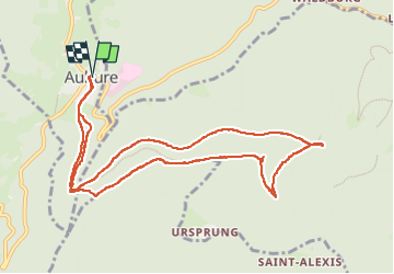

Length
10.9 km

Max alt
940 m

Uphill gradient
279 m
Km-Effort
14.6 km

Min alt
784 m

Downhill gradient
280 m
Boucle
Yes
Creation date :
2023-04-25 07:59:58.802
Updated on :
2023-04-26 05:00:00.122
3h54
Difficulty : Medium

FREE GPS app for hiking
 SityTrail
IGN / Geographical institutes
SityTrail Plus
The world is yours!
About
Trail Walking of 10.9 km to be discovered at Grand Est, Haut-Rhin, Aubure. This trail is proposed by apa.
Description
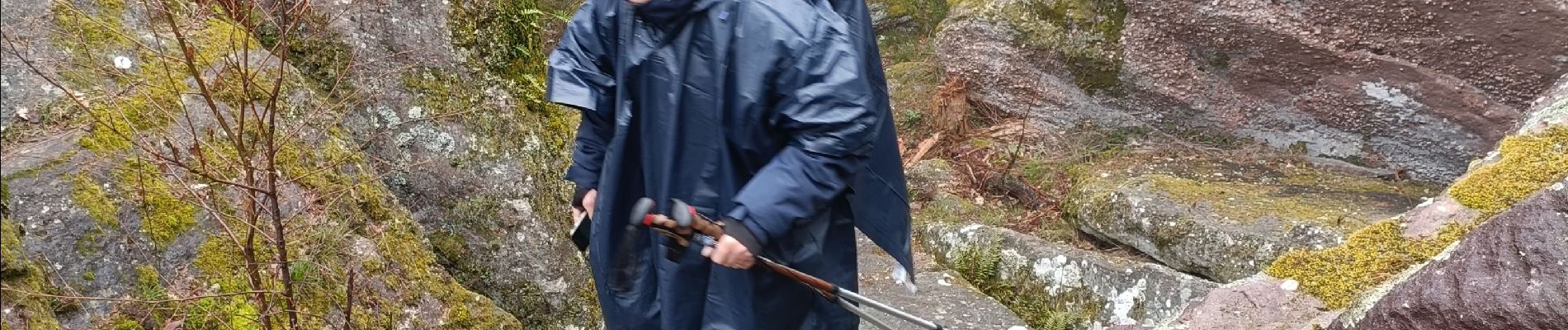
panoramique
Photos


Positioning
Country:
France
Region :
Grand Est
Department/Province :
Haut-Rhin
Municipality :
Aubure
Location:
Unknown
Start:(Dec)
Start:(UTM)
367882 ; 5339775 (32U) N.
Comments