


bauchmatt

heurtinpatrick
User
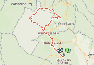

Length
19 km

Max alt
824 m

Uphill gradient
694 m
Km-Effort
28 km

Min alt
319 m

Downhill gradient
694 m
Boucle
Yes
Creation date :
2023-04-09 08:59:38.46
Updated on :
2023-05-02 07:30:47.163
4h37
Difficulty : Medium

FREE GPS app for hiking
 SityTrail
IGN / Geographical institutes
SityTrail Plus
The world is yours!
About
Trail Walking of 19 km to be discovered at Grand Est, Haut-Rhin, Soultzmatt. This trail is proposed by heurtinpatrick.
Positioning
Country:
France
Region :
Grand Est
Department/Province :
Haut-Rhin
Municipality :
Soultzmatt
Location:
Unknown
Start:(Dec)
Start:(UTM)
366867 ; 5313016 (32T) N.
Comments