


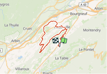

25 km | 34 km-effort


User


FREE GPS app for hiking
 SityTrail
IGN / Geographical institutes
SityTrail World
The world is yours!
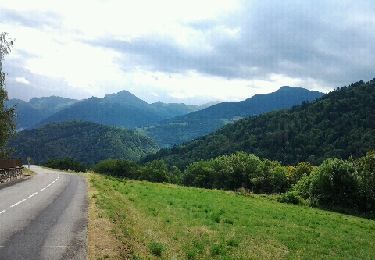
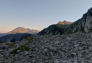
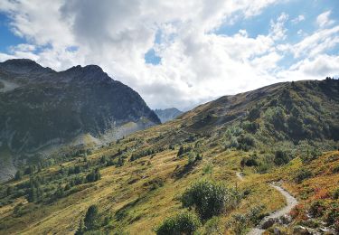
Trail Horseback riding of 33 km to be discovered at Auvergne-Rhône-Alpes, Savoy, Villard-Léger. This trail is proposed by xhakon.
avec Sarah,
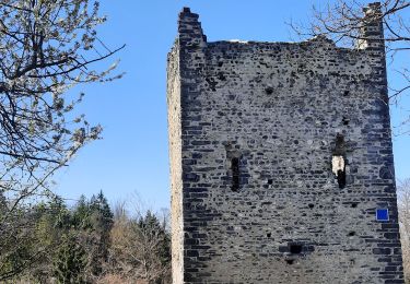
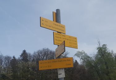
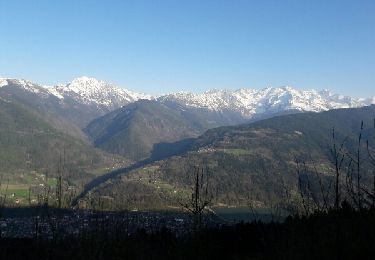
Bonne boucle très variée avec de la vue, de la forêt, de la plaine.

Mountain bike
Walking
Walking
Mountain bike
Cycle
Mountain bike
Walking
Walking
Road bike