


Ribiers Ribiers 90 +

claude nier
User
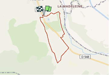

Length
6.4 km

Max alt
530 m

Uphill gradient
59 m
Km-Effort
7.2 km

Min alt
486 m

Downhill gradient
64 m
Boucle
Yes
Creation date :
2023-05-07 07:12:22.133
Updated on :
2023-05-07 09:01:08.522
1h48
Difficulty : Medium

FREE GPS app for hiking
 SityTrail
IGN / Geographical institutes
SityTrail Plus
The world is yours!
About
Trail Walking of 6.4 km to be discovered at Provence-Alpes-Côte d'Azur, Hautes-Alpes, Val-Buëch-Méouge. This trail is proposed by claude nier.
Description
promenade matinale
Positioning
Country:
France
Region :
Provence-Alpes-Côte d'Azur
Department/Province :
Hautes-Alpes
Municipality :
Val-Buëch-Méouge
Location:
Unknown
Start:(Dec)
Start:(UTM)
728551 ; 4900680 (31T) N.
Comments