Trail Walking Kluisbergen - Le mont de l'Enclus - Photo
 Greg813
Greg813

User

© OpenStreetMap contributors
Length
Length
22 km
Max alt
Max alt
161 m
Uphill gradient
Uphill gradient
561 m
Km-Effort
Km-Effort  
30 km
Min alt
Min alt
23 m
Downhill gradient
Downhill gradient
563 m
Boucle
Boucle
Yes
Creation date :
07/05/2023 07:28
Updated on :
24/06/2023 15:45

(0 Reviews)

Walking
Walking
4h47
Difficulty : Medium

Scan this QR Code to open this trail in the SityTrail application

FREE GPS app for hiking

Logo SityTrail SityTrail

IGN / Geographical institutes

Download SityTrail from the App Store Download SityTrail from Google Play

Logo SityTrail SityTrail Plus

The world is yours!

Download SityTrail from the App Store Download SityTrail from Google Play Download SityTrail on Huawei AppGallery

About

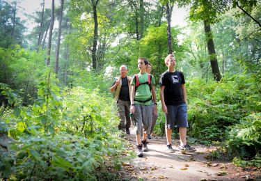
Trail Walking of 22 km to be discovered at Flanders, East Flanders, Kluisbergen. This trail is proposed by Greg813.

Description

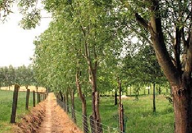
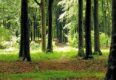
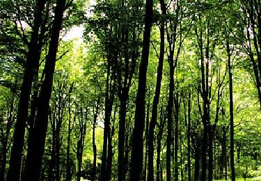
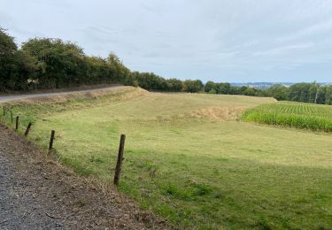
Randonnée avec Mettons Le Monde en Marche sur les sentiers forestiers autour du Mont de l'Enclus; à la frontière en Wallonie et Flandres.

L'itinéraire peut se révéler boueux/glissant en cas de fortes pluies.

Elevation profile

Points of interest

Point of interest Unknown - Hotond - Photo
Greg813
UNKNOWN 

Positioning

Country:
Belgium
Region :
Flanders
Department/Province :
East Flanders
Municipality :
Kluisbergen
Location:
Unknown
Start:(UTM)
534596 ; 5623300 (31U) N.


Close
My subscriptions